Name/Title
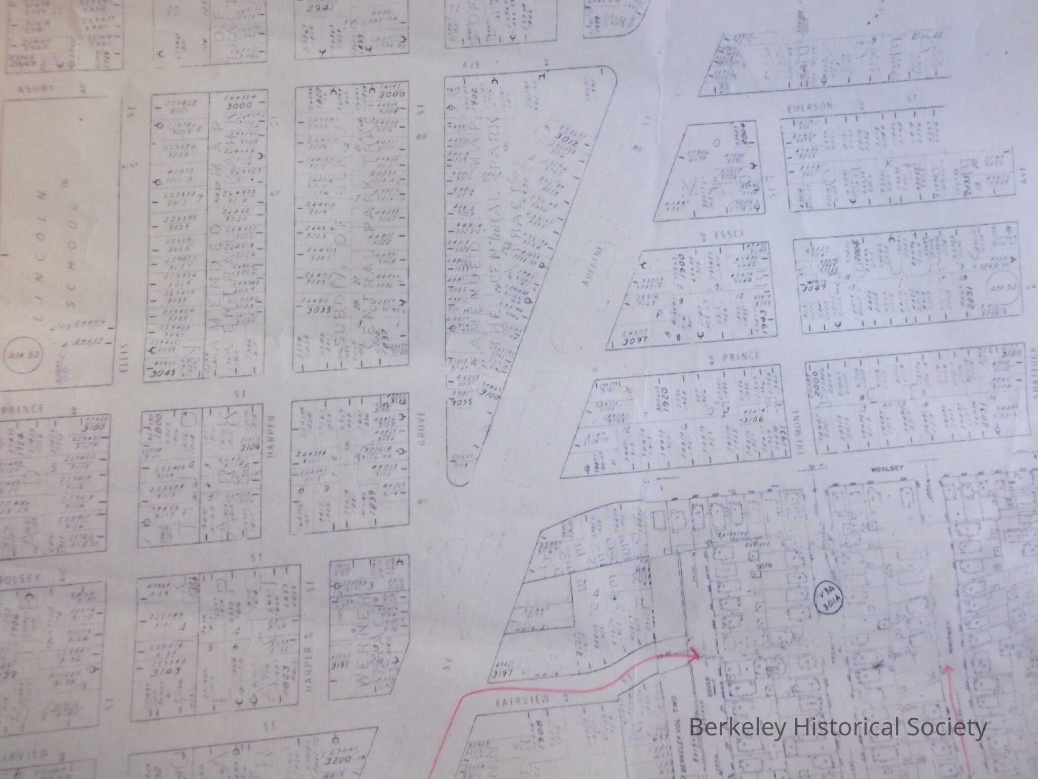
Water mains in south Berkeley, along Adeline Avenue, 1964Entry/Object ID
1978.043.117Description
Plot Map of area around Adeline and Alcatraz; 2 maps, reproductions; one has lines with arrows on a few streets.
At bottom 319 and 1498B494, and 329 and 1948B4Lexicon
Nomenclature 4.0
Nomenclature Secondary Object Term
MapNomenclature Primary Object Term
CartographNomenclature Sub-Class
Graphic DocumentsNomenclature Class
Documentary ObjectsNomenclature Category
Category 08: Communication ObjectsLOC Thesaurus for Graphic Materials
"Maps"Search Terms
"EBMUD"Location
Other
Drawer FB-5a, Folder 5ad