Name/Title
Capitol site, Berkeley, 1908?Entry/Object ID
1978.043.121Description
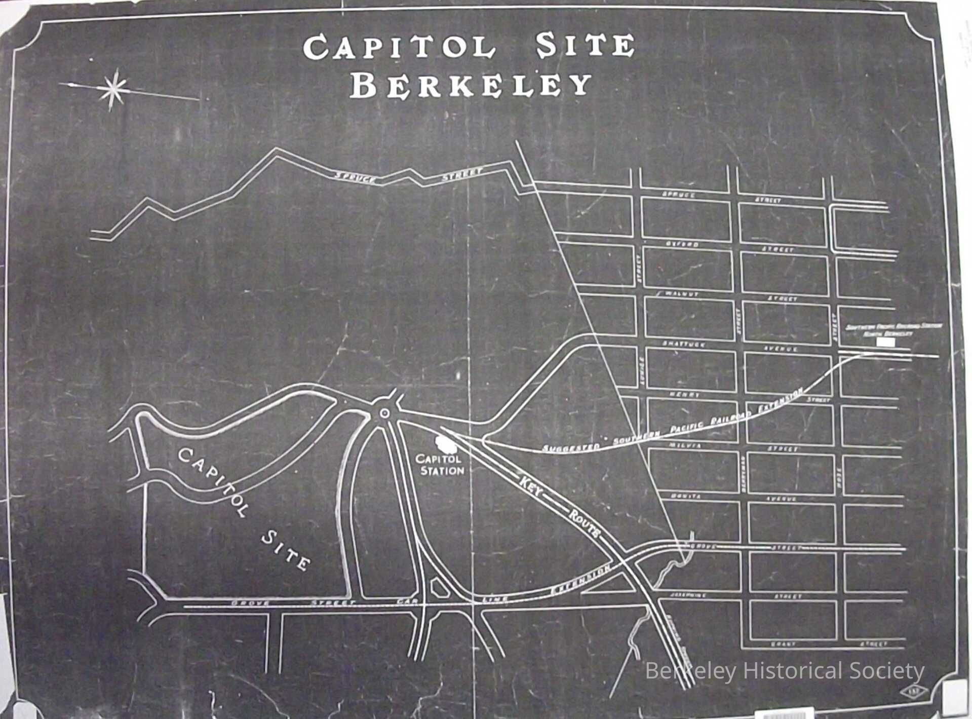
Area near Arlington Circle the proposed site of the State Capitol.
Map of approximate location of State Capitol, Grove near Marin. Shows extension of the Grove Street car line and extension of Southern Pacific from Shattuck and Rose to a proposed Station near the south approach to the future Northbrae Tunnel. . The assumed date is 1908. The only identifying feature is a number 137 in a geometric shape.Lexicon
Nomenclature 4.0
Nomenclature Secondary Object Term
MapNomenclature Primary Object Term
CartographNomenclature Sub-Class
Graphic DocumentsNomenclature Class
Documentary ObjectsNomenclature Category
Category 08: Communication ObjectsLOC Thesaurus for Graphic Materials
"Maps"Search Terms
State Capitol, Capitol Station, SP Station North Berkeley, Key RouteLocation
Other
Drawer FB-1, Folder 1e