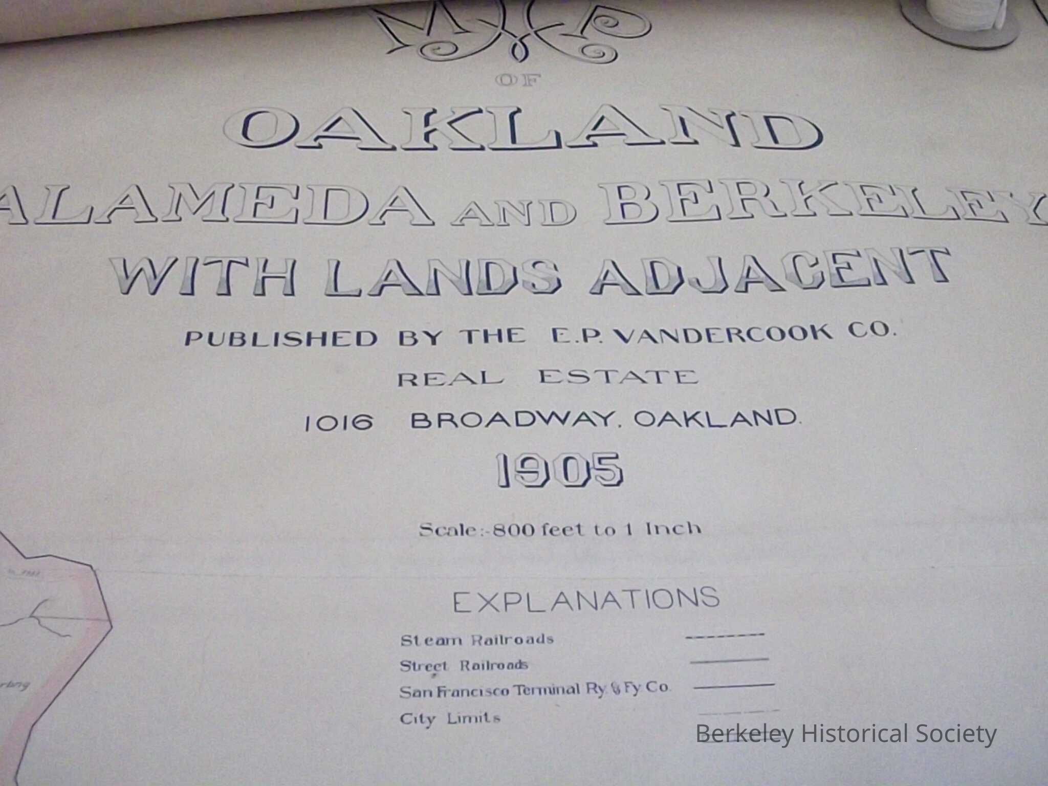
Name/Title
Map of Oakland, Alameda and Berkeley, with lands adjacent, 1905, published by E. P. Vandercook Co.Entry/Object ID
1978.043.130Description
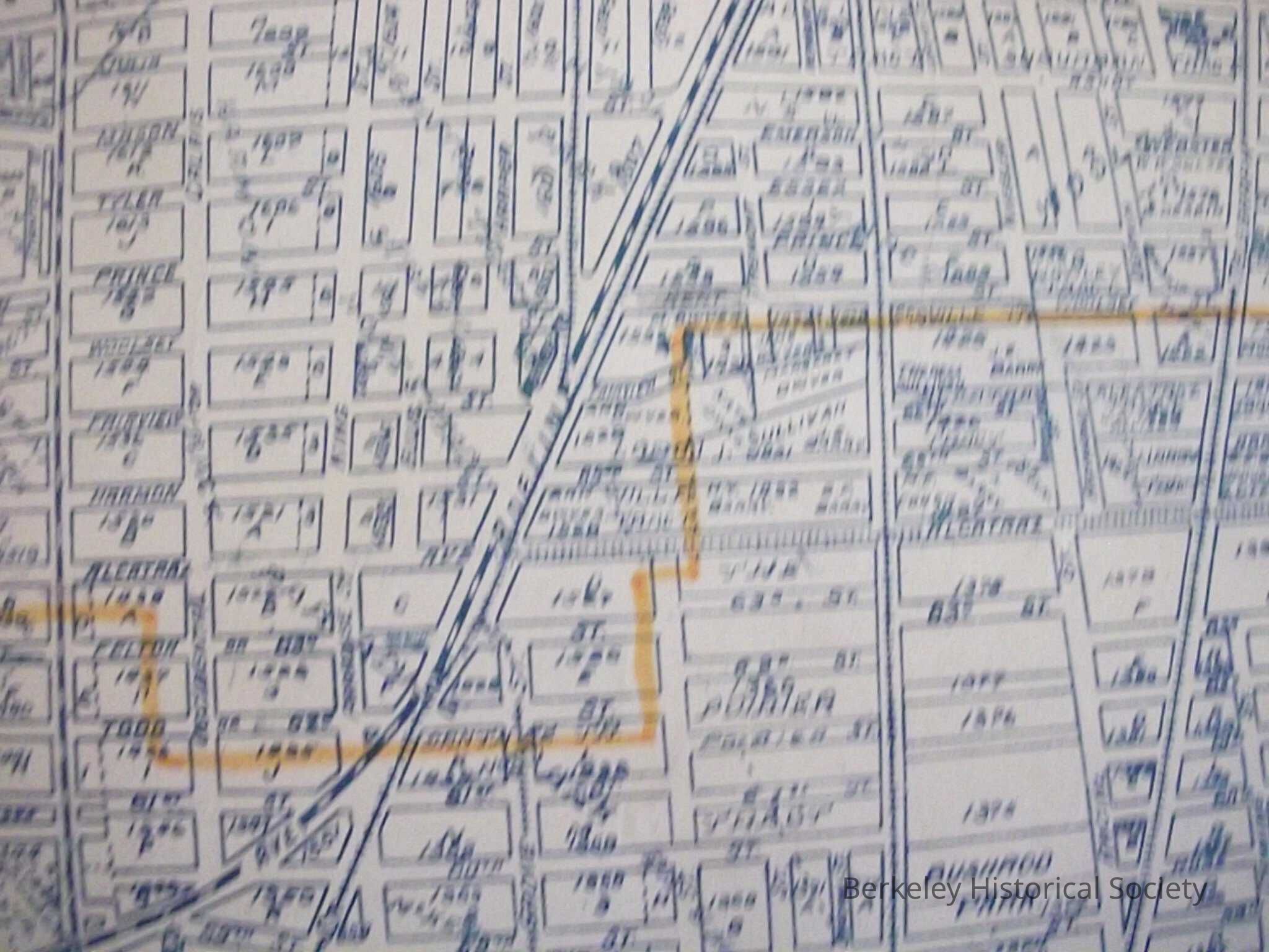
Plot map from Alameda to through Berkeley.
Large wall map. Published by E.P. Vandercook Co. Explanations, Steam Railroads, Street Railroads.Lexicon
Nomenclature 4.0
Nomenclature Secondary Object Term
MapNomenclature Primary Object Term
CartographNomenclature Sub-Class
Graphic DocumentsNomenclature Class
Documentary ObjectsNomenclature Category
Category 08: Communication ObjectsSearch Terms
Oakland, Alameda, Berkeley