Name/Title
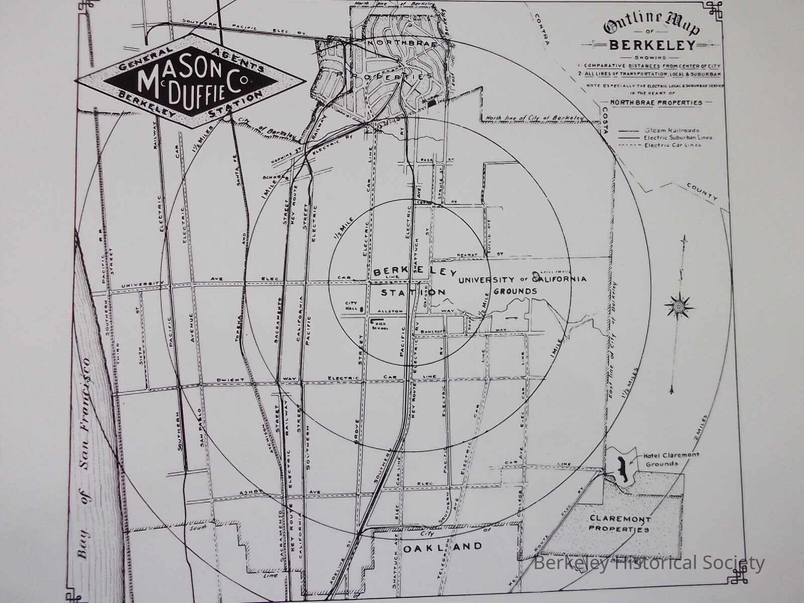
Outline map of Berkeley showing 1. comparative distances from center of the city 2. all lines of transportation, local & suburban...Northbrae properties.Entry/Object ID
1978.043.153Description
Shows comparative distance from center of distance (to Northbrae).
This small BW map is a copy of inserts Mason McDuffie included in their sales map of Northbrae. It shows all the transit line, railroads, electric suburban Lines and electric car lines.Lexicon
Nomenclature 4.0
Nomenclature Secondary Object Term
MapNomenclature Primary Object Term
CartographNomenclature Sub-Class
Graphic DocumentsNomenclature Class
Documentary ObjectsNomenclature Category
Category 08: Communication ObjectsSearch Terms
Berkeley Station, Mason McDuffie CompanyLocation
Other
Drawer FB-5, Folder 5e