Name/Title
East Bay area, 1845 ca.Entry/Object ID
1978.043.160Description
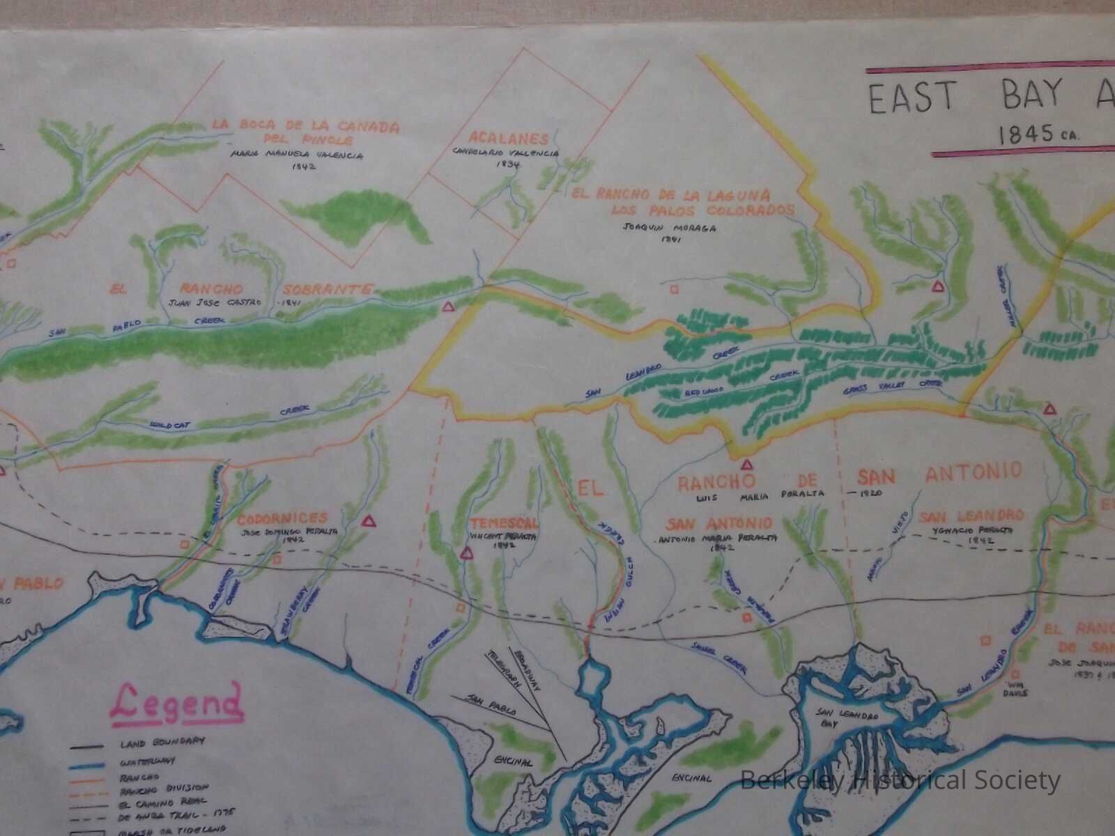
Colored hand drawn map of Spanish and Mexican land grant ranchos, from approximately present day San Lorenzo to Pinole.
Includes ranchos of the Peralta and Castro families. Shows creeks, locations of Indian settlements, location of houses on the ranchos, etc. There are dates by names of ranchos, but it is not clear what they represent; they are later than dates of original grant.
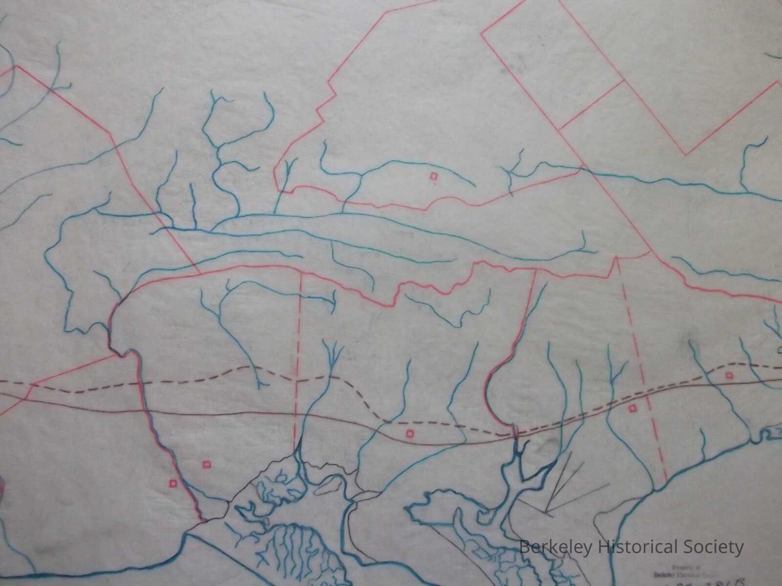
Also: overlay on tissue showing boundaries but no names; some indication of scale in lower left.
This map possibly by Edward Staniford.Lexicon
Nomenclature 4.0
Nomenclature Secondary Object Term
MapNomenclature Primary Object Term
CartographNomenclature Sub-Class
Graphic DocumentsNomenclature Class
Documentary ObjectsNomenclature Category
Category 08: Communication ObjectsSearch Terms
Rancho Codornices, Rancho Temescal, Area MapLocation
Other
Drawer FB-2, Folder 2f