Name/Title
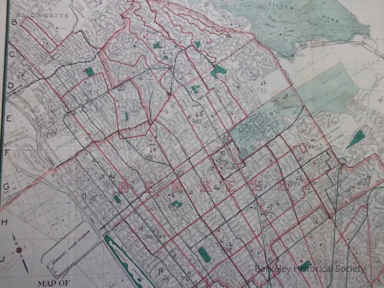
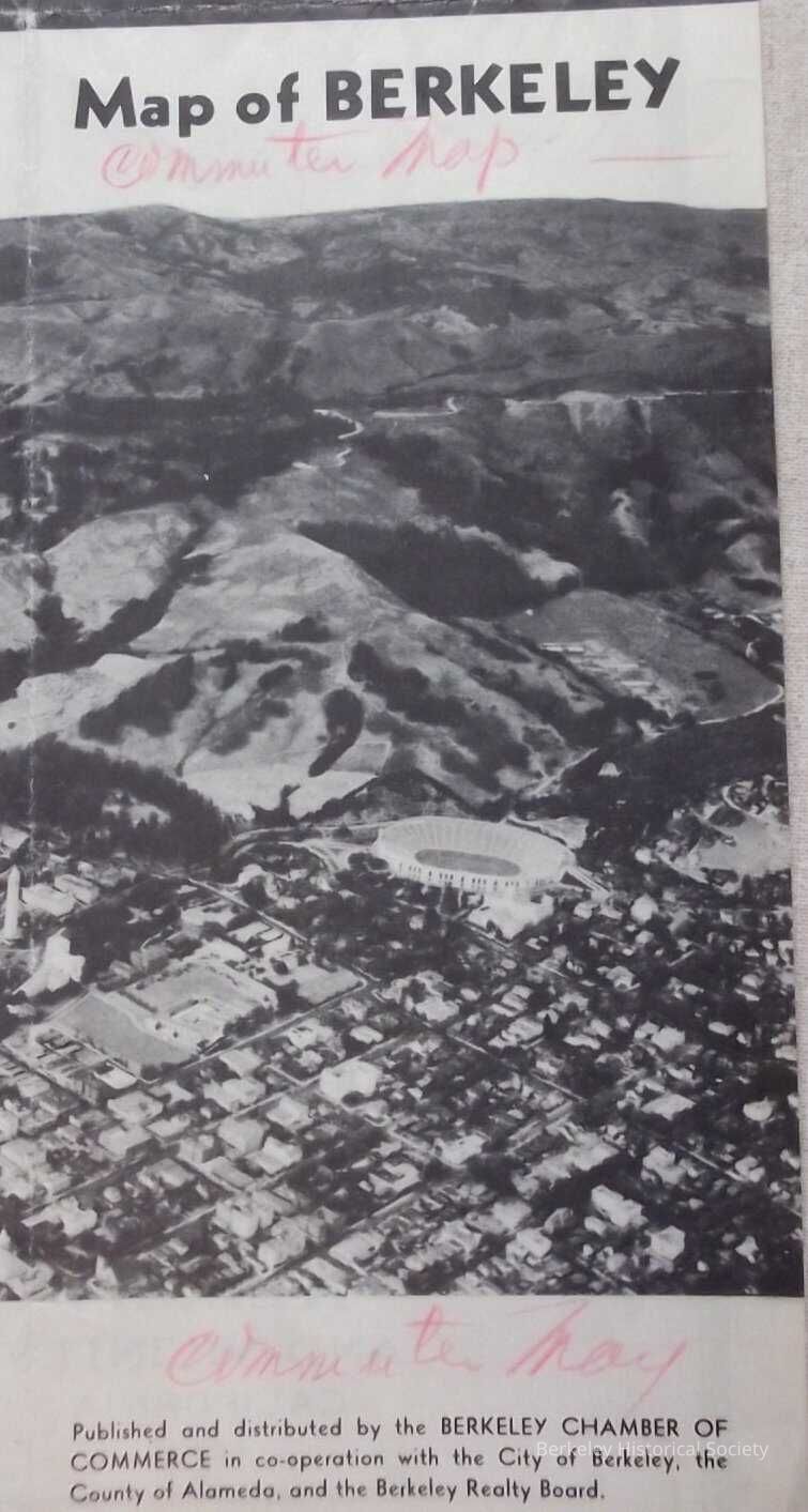
Map of Berkeley, Albany & Vicinity, 1941?Entry/Object ID
1978.043.012Description
Map issued as a folded pamphlet by the Berkeley Chamber of Commerce.
One side a map. with street index, other side sights of Berkeley, Interesting things to see...Bay Area Road map, Streetcars in Red, San Francisco trains in green, mainline trains in symbol. This map shows the Shattuck Hotel in one of the pictures, From 1918-1942, the hotel was known as the Whitecotton Hotel in honor of its owner, William Whitecotton.
2 copies, both undated: Pamphlet side has different pictures on each of the maps. There are minor differences in transportation lines. One has pencilled dates of 1940 and 1941 added. One has added notes (population?) and added lines, possibly for new transporation routes.Lexicon
Nomenclature 4.0
Nomenclature Secondary Object Term
MapNomenclature Primary Object Term
CartographNomenclature Sub-Class
Graphic DocumentsNomenclature Class
Documentary ObjectsNomenclature Category
Category 08: Communication ObjectsSearch Terms
North Cragmont, UC, Cerrito Hill, Thousand Oaks, Berkeley Park, Kensington Park, Arlington Heights, Road mapsLocation
Other
Drawer FB-3, Folder 3f