HUB
Collections
Classifications
About
App
Alameda County
Map
-
Berkeley Historical Society & Museum
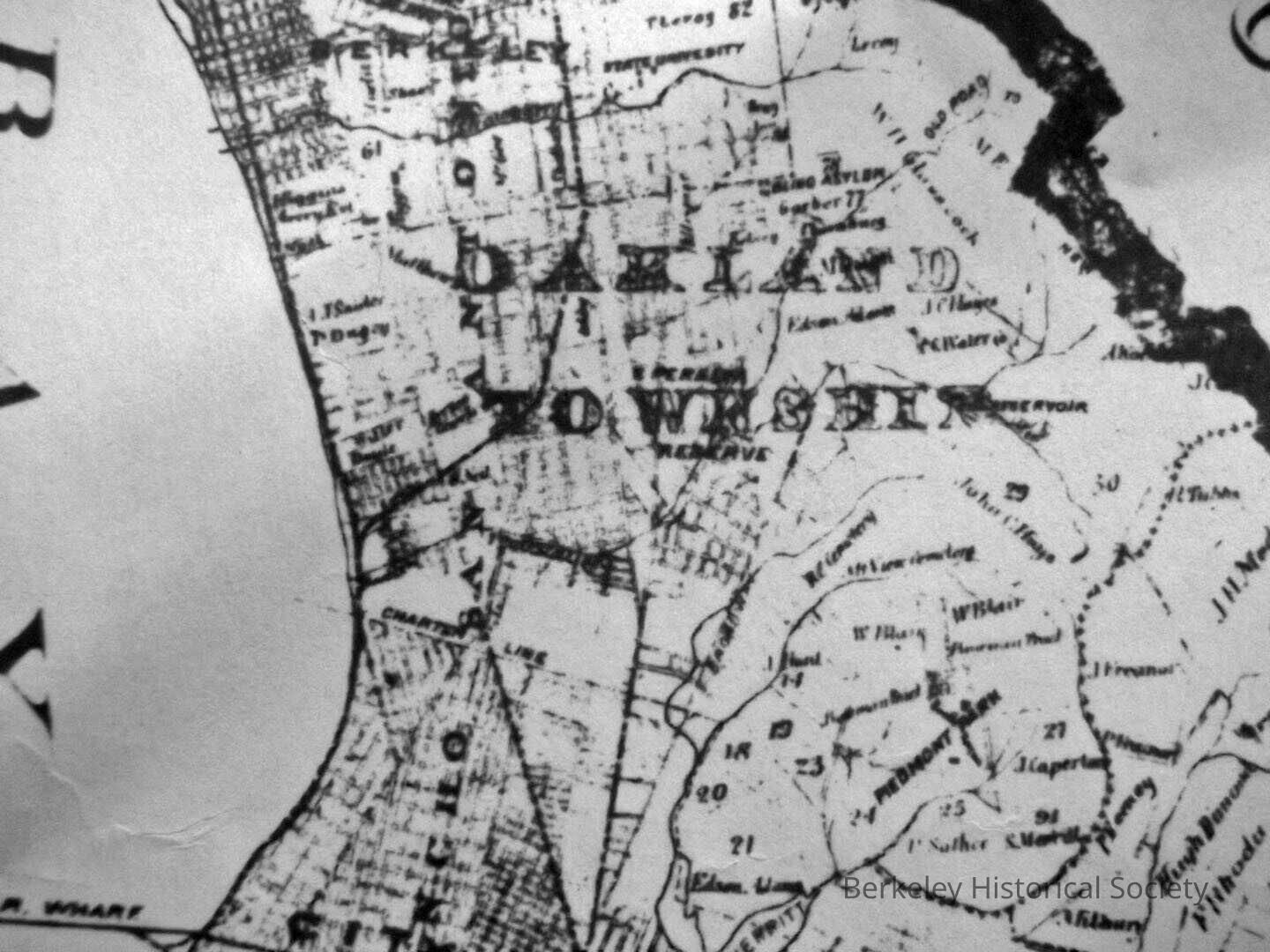
1880 Map
Name/Title
Alameda County
Entry/Object ID
1978.043.181
Description
Survey map presented by Tribune Publishing Company. Compiled from the most reliable surveyors and corrected to date.
Lexicon
Nomenclature 4.0
Nomenclature Secondary Object Term
Map
Nomenclature Primary Object Term
Cartograph
Nomenclature Sub-Class
Graphic Documents
Nomenclature Class
Documentary Objects
Nomenclature Category
Category 08: Communication Objects
Search Terms
Alameda country,
Oakland township,
Map Survey
Map Details
Date Published
1880
Dimensions
Height
22 in
Width
33 in
Location
Other
Drawer FB-1, Folder 1b