HUB
Collections
Classifications
About
App
BART Property
Map
-
Berkeley Historical Society & Museum
1967 BART
Name/Title
BART Property
Entry/Object ID
1978.043.192
Description
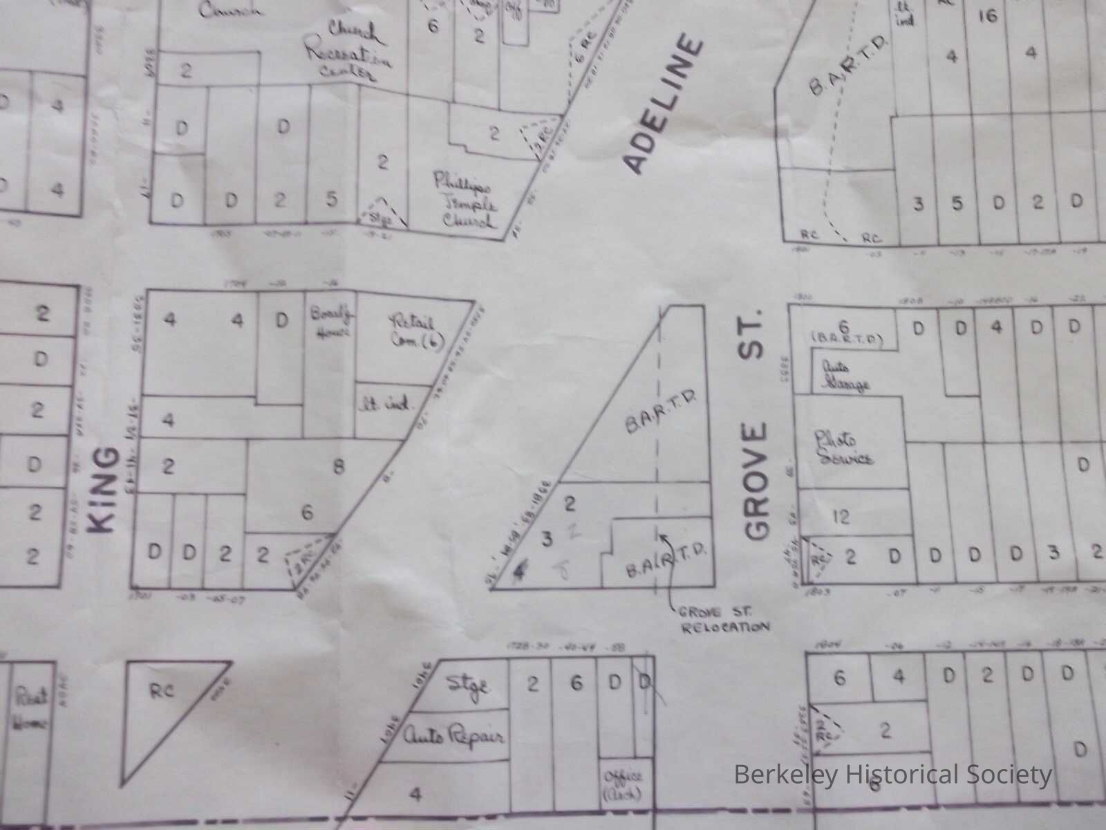
Title in pencil on map. Planning map for BART, shows property at Adeline and Grove for BART, shows some stores, extends from Prince Street on the north to 62nd Street on the south.
Lexicon
Nomenclature 4.0
Nomenclature Secondary Object Term
Map
Nomenclature Primary Object Term
Cartograph
Nomenclature Sub-Class
Graphic Documents
Nomenclature Class
Documentary Objects
Nomenclature Category
Category 08: Communication Objects
Search Terms
BART,
Real Property
Map Details
Date Published
1967
Dimensions
Height
26 in
Width
30 in
Location
Other
Drawer FB-4, Folder 4h