HUB
Collections
Classifications
About
App
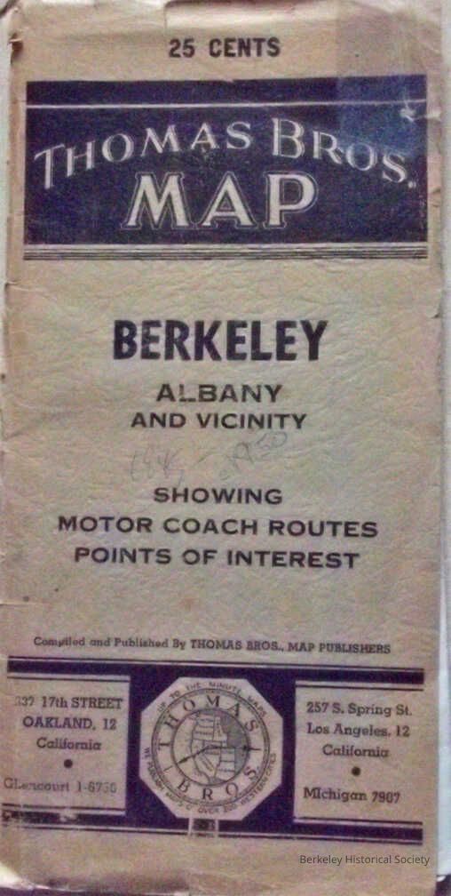
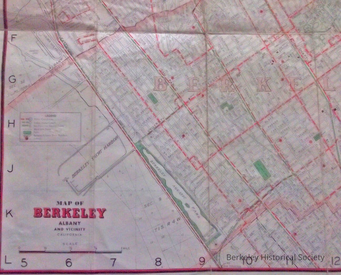
Map, Berkeley, Albany and Vicinity
Map
-
Berkeley Historical Society & Museum
195o map
Name/Title
Map, Berkeley, Albany and Vicinity
Entry/Object ID
1978.043.205
Description
Street Map with Motor Coach and Trains. The map has no date and is approximated between 1945 and 1950. Eastshore Hwy, Map is pasted into a folding thin cardboard. 2 copies
Lexicon
Nomenclature 4.0
Nomenclature Secondary Object Term
Map
Nomenclature Primary Object Term
Cartograph
Nomenclature Sub-Class
Graphic Documents
Nomenclature Class
Documentary Objects
Nomenclature Category
Category 08: Communication Objects
Search Terms
Berkeley,
Folded Street Map
Map Details
Date Published
1948
Dimensions
Height
16 in
Width
26 in
Location
Other
Drawer FB-3, Folder 3h