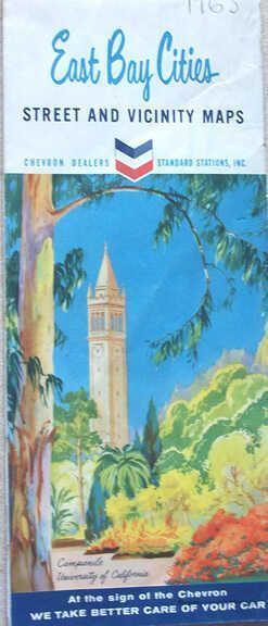
Name/Title
East Bay Cities, Street and Vicinity MapEntry/Object ID
1978.043.210Description
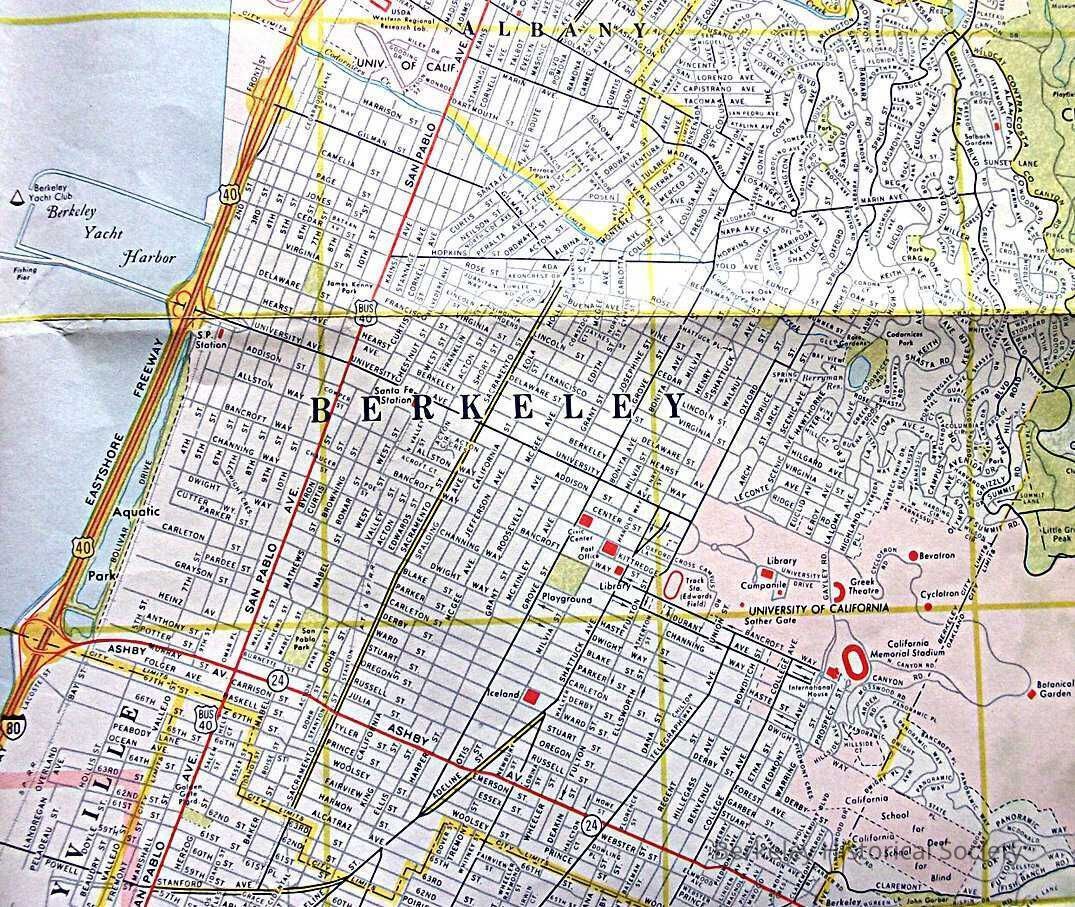
Map distributed by Chveron Dealers/ Standard Stations, Map of East Bay Cities on one side, the other San Francisco and Vicinity.
Street map with a few sights in red rectangles, one being Iceland. Future BART shows as red dashed line through Oakland, route through Berkeley not chosen.Lexicon
Nomenclature 4.0
Nomenclature Secondary Object Term
MapNomenclature Primary Object Term
CartographNomenclature Sub-Class
Graphic DocumentsNomenclature Class
Documentary ObjectsNomenclature Category
Category 08: Communication ObjectsSearch Terms
Chevron, Iceland, Folded Street MapLocation
Other
Drawer FB-3, Folder 3f