Name/Title
Map of Berkeley, Albany and vicinityEntry/Object ID
1978.043.211Description
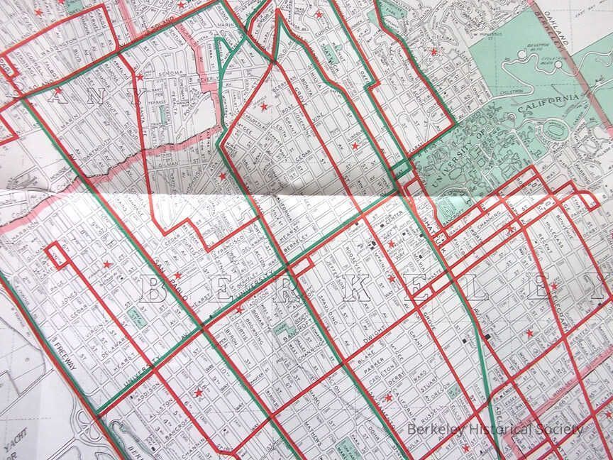
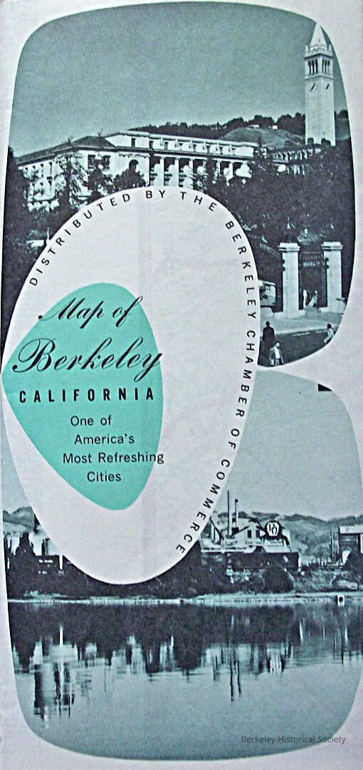
Street map Map of Berkeley, California one of America's most Refreshing Cities, Alameda County, Board of Supervisors. Motor coach lines in Red, Bridge Motor Coach lines in green, School red star.
Street map , Thomas Bros Map, one side map and street index, other side various scenes of Berkeley and continuation of Street Index.
Date based on completion of overpasses at foot of University Avenue, 1952, and bridge motor coaches instead of trains.Lexicon
Nomenclature 4.0
Nomenclature Secondary Object Term
MapNomenclature Primary Object Term
CartographNomenclature Sub-Class
Graphic DocumentsNomenclature Class
Documentary ObjectsNomenclature Category
Category 08: Communication ObjectsSearch Terms
Merchants, Street map, Roads--California--BerkeleyLocation
Other
Drawer FB-3, Folder 3f