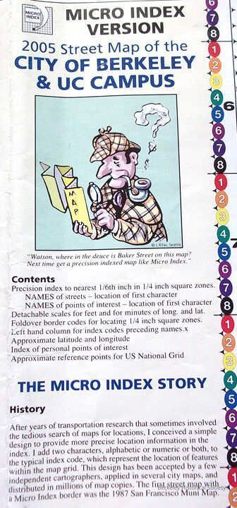
Name/Title
2005 Street Map of the City of Berkeley and UC CampusEntry/Object ID
1978.043.212Description
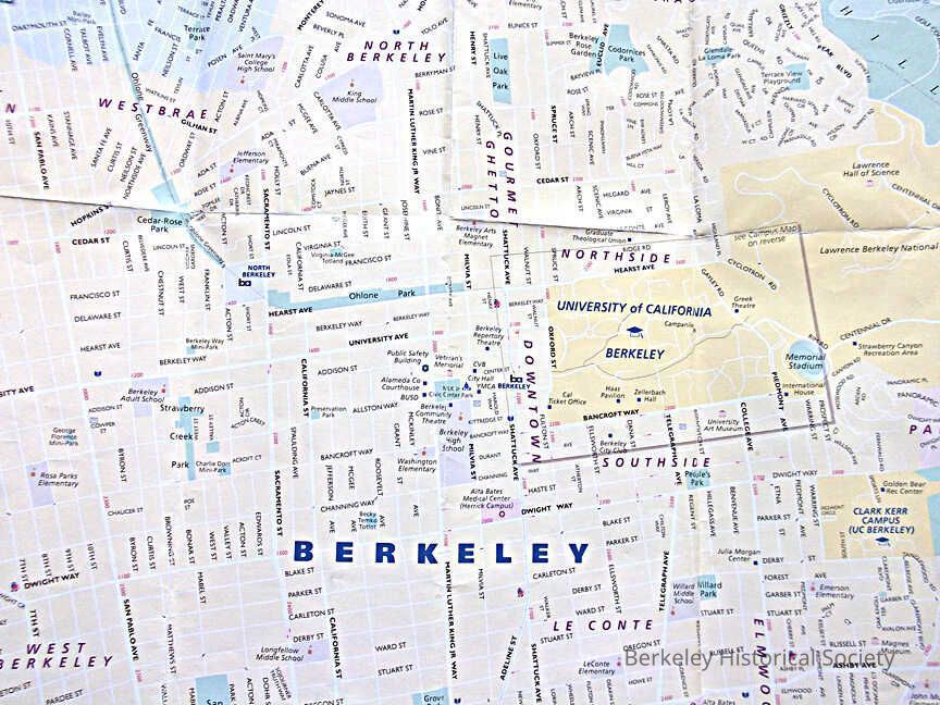
Map edges are color coded that refer to latitudes and longitudes, any point can be converted to Lat, Long, Meters, Feet Inches. Berkeley divided into area, such as Gourmet Ghetto.
Map by Eureka Cartography, Berkeley; Index by Micro Index, San Mateo, Printed by Creative LItho, Foster City.
Drawer FB-3, Folder 3hLexicon
Nomenclature 4.0
Nomenclature Secondary Object Term
MapNomenclature Primary Object Term
CartographNomenclature Sub-Class
Graphic DocumentsNomenclature Class
Documentary ObjectsNomenclature Category
Category 08: Communication ObjectsSearch Terms
Latitude and Longitude, Folded Street MapLocation
Other
Drawer FB-3, Folder 3f