HUB
Collections
Classifications
About
App
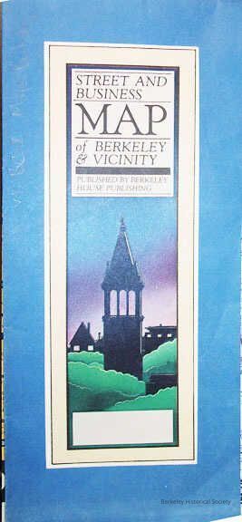
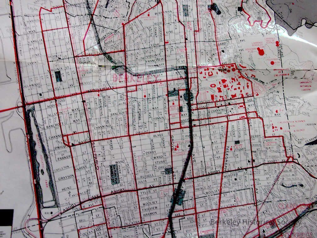
Street and Business Map of Berkeley & Vicinity
Map
-
Berkeley Historical Society & Museum
1981Map1
Name/Title
Street and Business Map of Berkeley & Vicinity
Entry/Object ID
1978.043.215
Description
Street map with East Bay Businesses professional directory and advertising on the back. Map has BART line in blue. Motor Coach and Bridge Motor Coach in red and light red respectively
Lexicon
Nomenclature 4.0
Nomenclature Secondary Object Term
Map
Nomenclature Primary Object Term
Cartograph
Nomenclature Sub-Class
Graphic Documents
Nomenclature Class
Documentary Objects
Nomenclature Category
Category 08: Communication Objects
Search Terms
Merchants,
Folded Street Map
Map Details
Date Published
1981
Dimensions
Height
19 in
Width
24 in
Location
Other
Drawer FB-3, Folder 3h