Name/Title
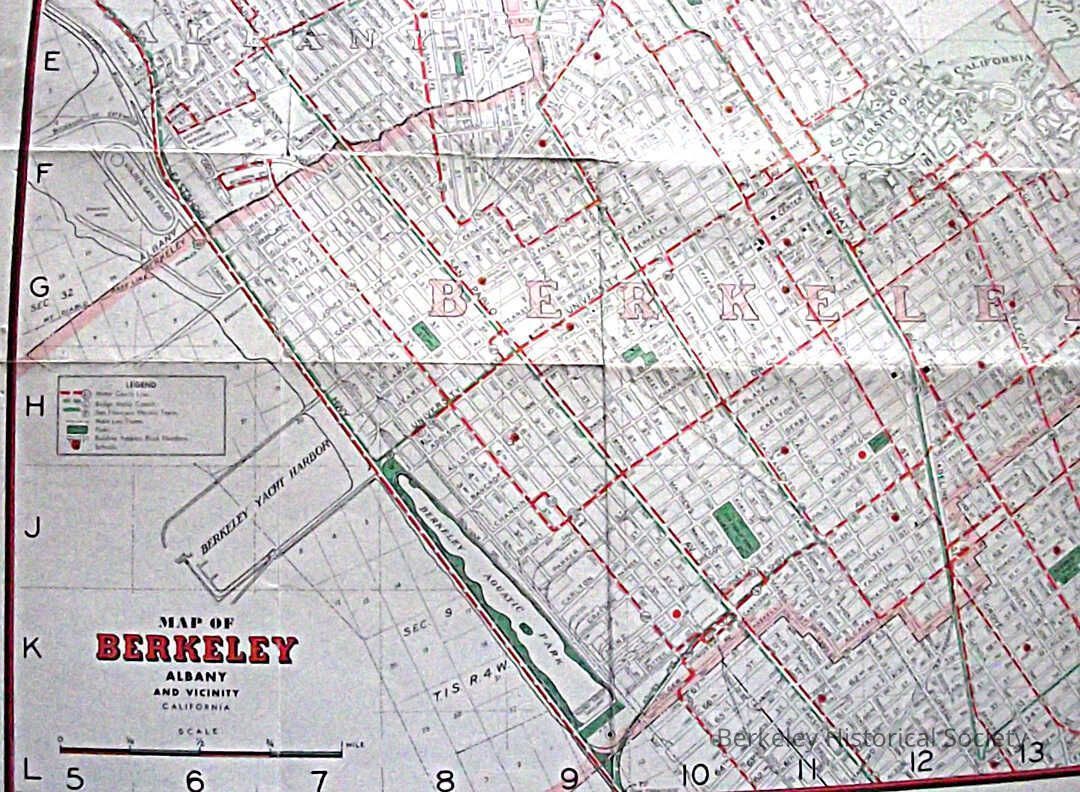
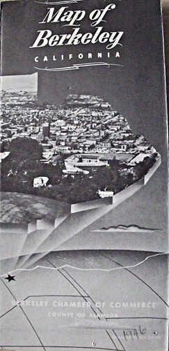
Map of Berkeley, Albany and vicinity, 1946Entry/Object ID
1978.043.216Description
Street map of Berkeley showing bus routes in dashed red, Key System F train in solid green and parks, schools red dot. Various images of berkeley and text on reverse side.Lexicon
Nomenclature 4.0
Nomenclature Secondary Object Term
MapNomenclature Primary Object Term
CartographNomenclature Sub-Class
Graphic DocumentsNomenclature Class
Documentary ObjectsNomenclature Category
Category 08: Communication ObjectsSearch Terms
"Folded Street Map"