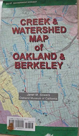
Name/Title
Creek & Watershed Map of Oakland & BerkeleyEntry/Object ID
1978.043.218Description
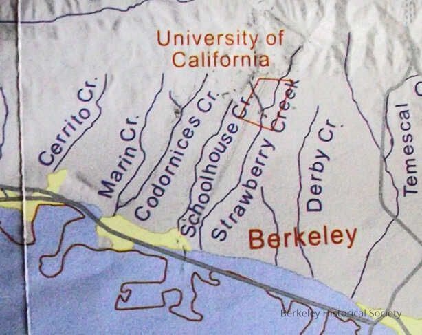
Two-sided map, General Map EastBay, 1"= 3/8 Mile, listing points of interest, Other side shows creeks, major roads color coded, incl original creeks, modern shoreline. Includes various images.
Historical wetlands research by San Francisco Estuary Institute.Lexicon
Nomenclature 4.0
Nomenclature Secondary Object Term
MapNomenclature Primary Object Term
CartographNomenclature Sub-Class
Graphic DocumentsNomenclature Class
Documentary ObjectsNomenclature Category
Category 08: Communication ObjectsSearch Terms
"Map Creeks"Location
Other
Drawer FB-2, Folder 2c