Name/Title
Proposed development along Hearst Avenue, Henry Street, Milvia Street.Entry/Object ID
1978.043.221Description
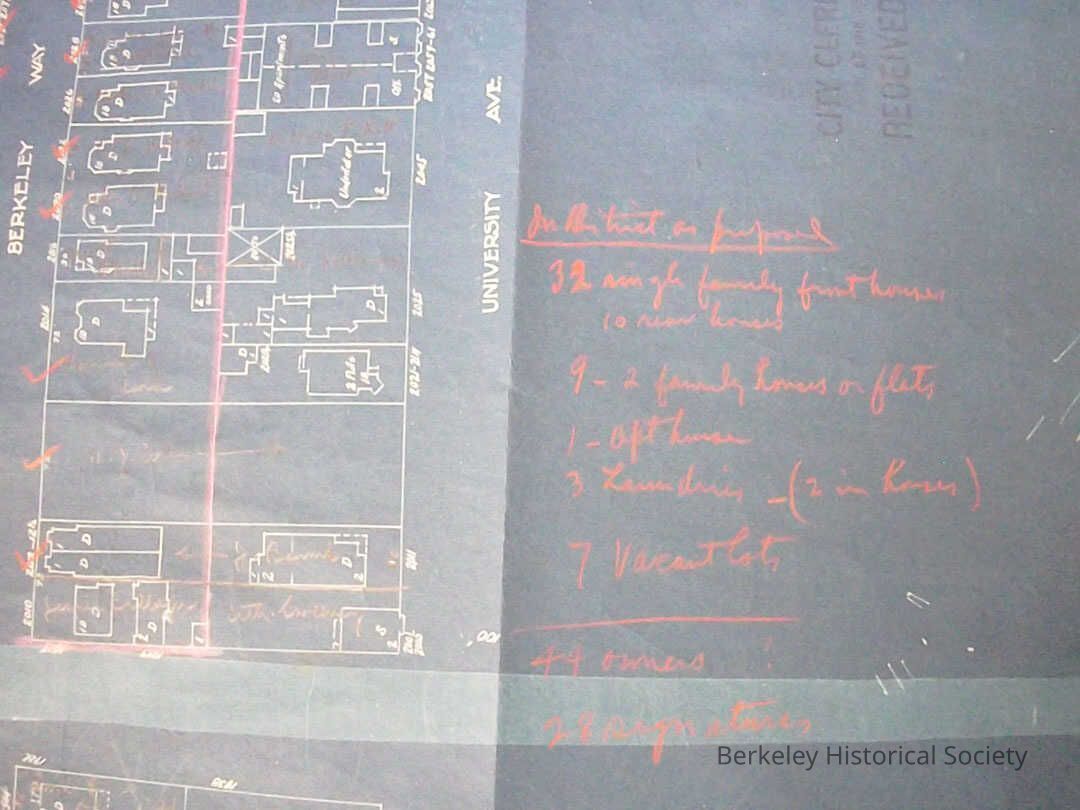
Blueprint map used for development purposes, showing houses between Milvia, Hearst, Shattuck, with note as to possible number of houses, apartments, etc.
Many owners' names in pencil.
On back stamp Filed, as a public record, OCtober 13, 1916 A.G.Briggs City Clerk, stamp on front received June 13, 1918Lexicon
Nomenclature 4.0
Nomenclature Secondary Object Term
MapNomenclature Primary Object Term
CartographNomenclature Sub-Class
Graphic DocumentsNomenclature Class
Documentary ObjectsNomenclature Category
Category 08: Communication ObjectsSearch Terms
Shattuck Avenue, Hearst Avenue, Milvia Avenue, Map - subdivisionLocation
Other
Drawer FB-2, Folder 2a