HUB
Collections
Classifications
About
App
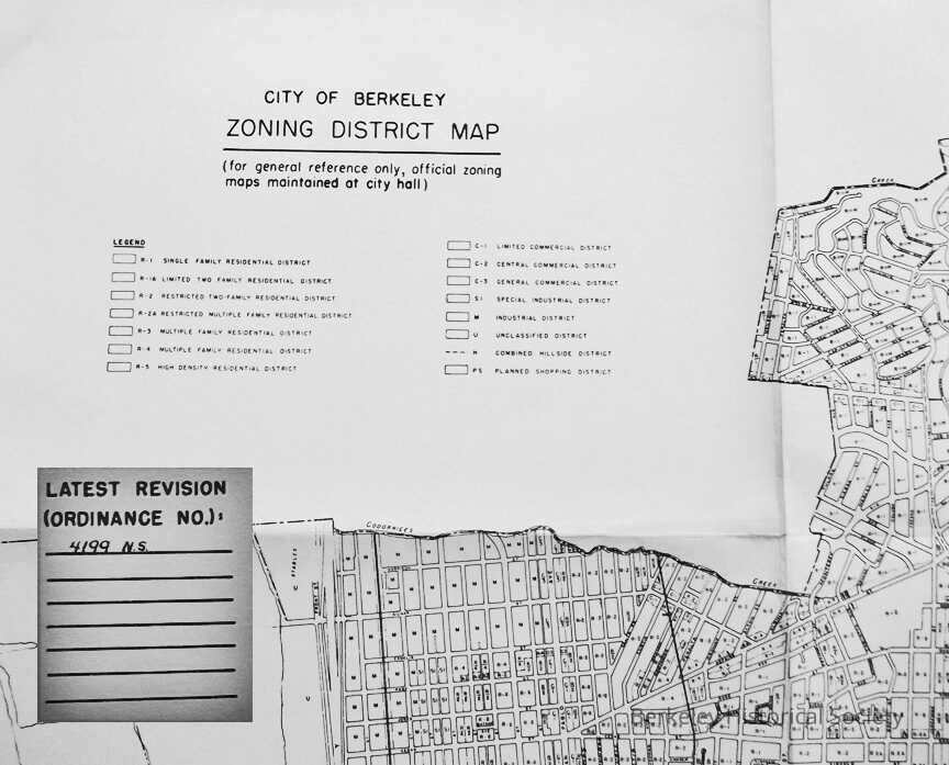
City of Berkeley Zoning District Map
Map
-
Berkeley Historical Society & Museum
1999Zone
Name/Title
City of Berkeley Zoning District Map
Entry/Object ID
1978.043.245
Description
Citywide map, Zoning
Lexicon
Nomenclature 4.0
Nomenclature Secondary Object Term
Map
Nomenclature Primary Object Term
Cartograph
Nomenclature Sub-Class
Graphic Documents
Nomenclature Class
Documentary Objects
Nomenclature Category
Category 08: Communication Objects
Search Terms
Berkeley,
Zoning
Map Details
Date Published
1999
Dimensions
Height
21 in
Width
22 in
Location
Other
Drawer FB-3, Folder 3c