HUB
Collections
Classifications
About
App
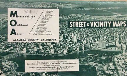
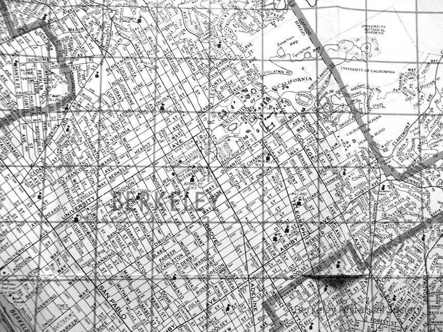
Street & Vicinity Maps
Map
-
Berkeley Historical Society & Museum
1967Map
Name/Title
Street & Vicinity Maps
Entry/Object ID
1978.043.247
Description
Metropolitan Oakland Area, Convention and Tourist Bureau Oakland Chamber of Commerce, Alameda County Board of Supervisors
Lexicon
Nomenclature 4.0
Nomenclature Secondary Object Term
Map
Nomenclature Primary Object Term
Cartograph
Nomenclature Sub-Class
Graphic Documents
Nomenclature Class
Documentary Objects
Nomenclature Category
Category 08: Communication Objects
Search Terms
Berkeley,
Folded Street Map
Map Details
Date Published
1967
Location
Other
Drawer FB-3, Folder 3f