Name/Title
Nautical Chart, SF BayEntry/Object ID
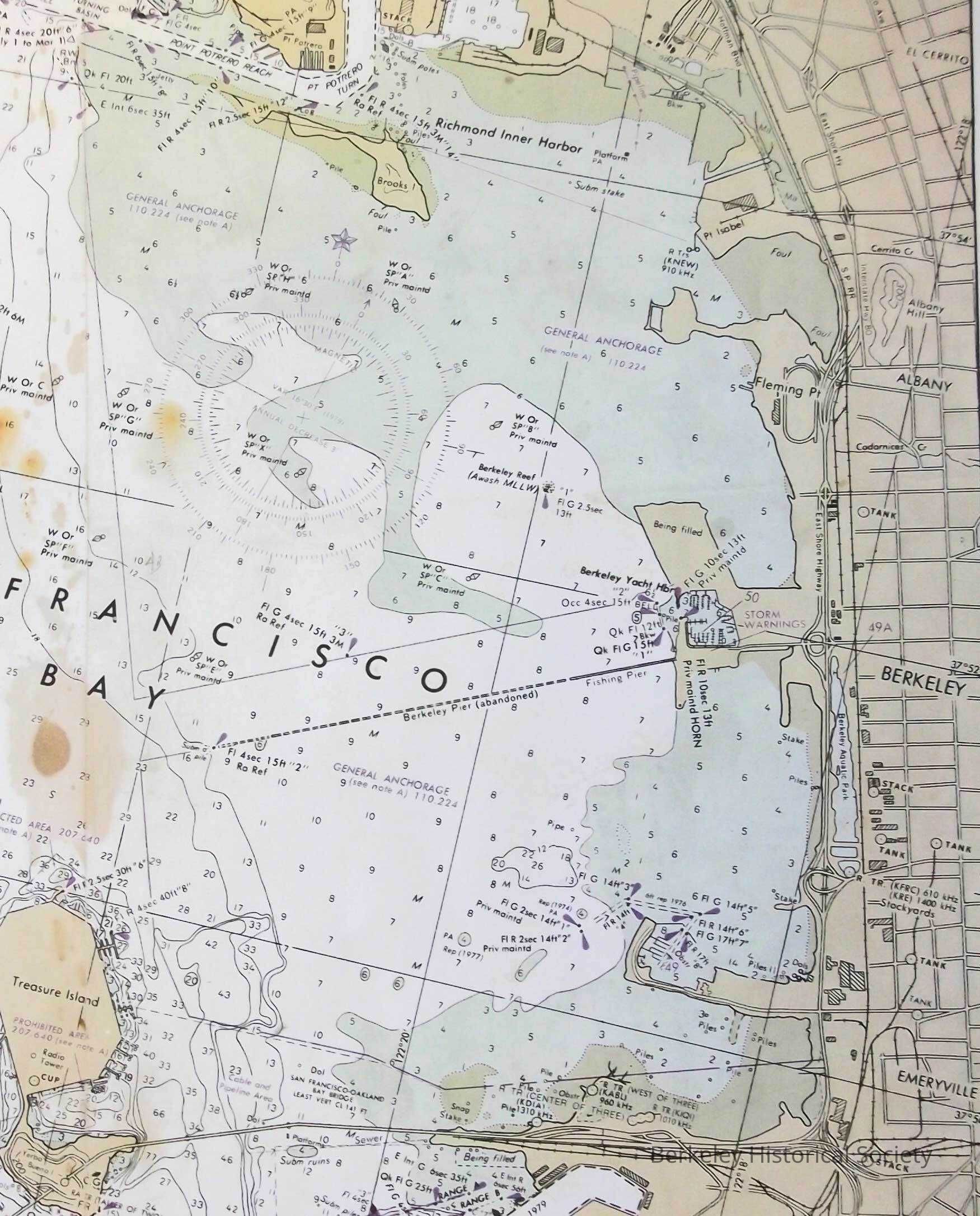
1978.043.255Description
Copied from US Dept of Commerce, National Oceanic and Atmospheric Adm. Nautical Chart 19652, edition 19, April 1980. This is page B only, and does not show the legend of the map.
Extends from Point Richmond to Oakland Inner Harbor, including Berkeley waterfront, abandoned pier, etc.
This isLexicon
Nomenclature 4.0
Nomenclature Secondary Object Term
MapNomenclature Primary Object Term
CartographNomenclature Sub-Class
Graphic DocumentsNomenclature Class
Documentary ObjectsNomenclature Category
Category 08: Communication ObjectsSearch Terms
San Francisco Bay, Map Bay USGSLocation
Other
Drawer FB-5a, Folder 5ac