Name/Title
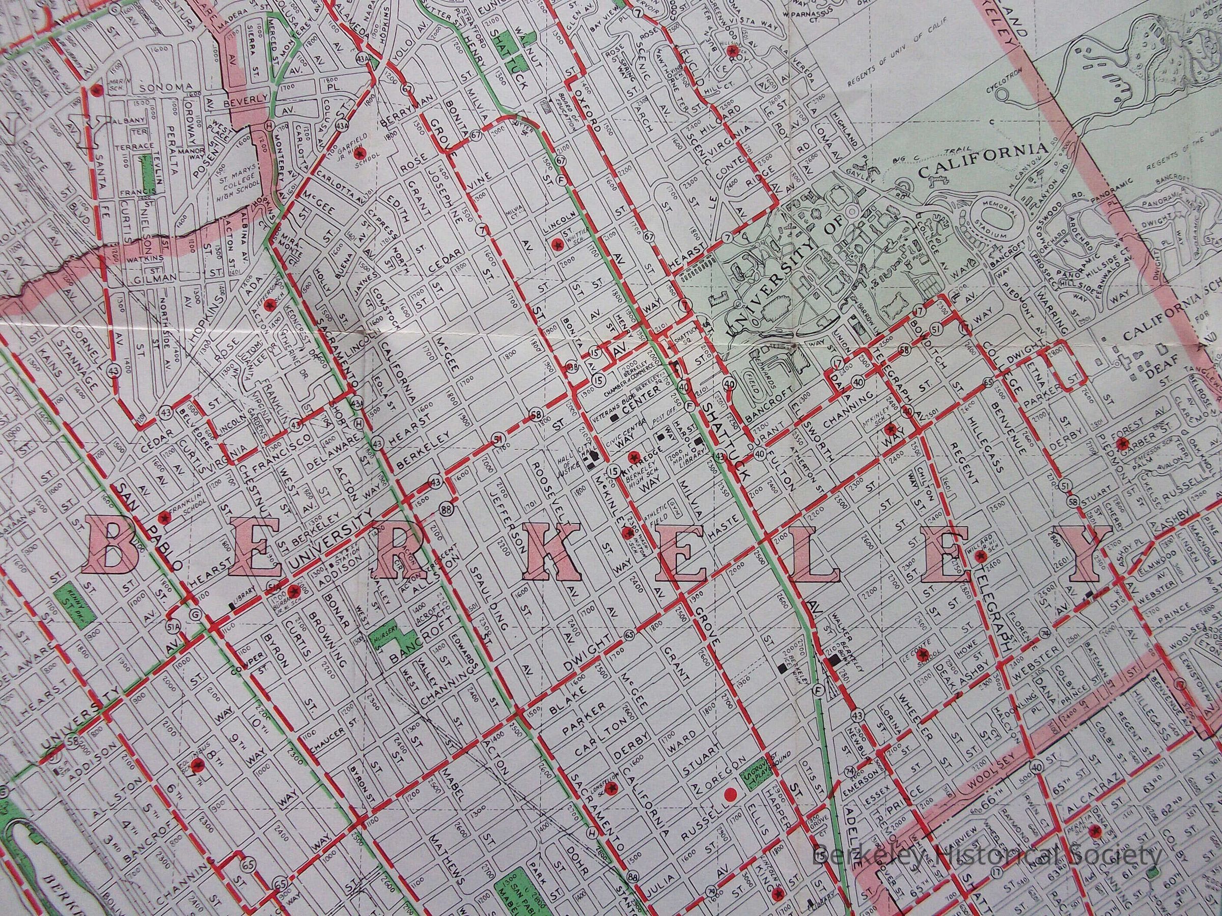
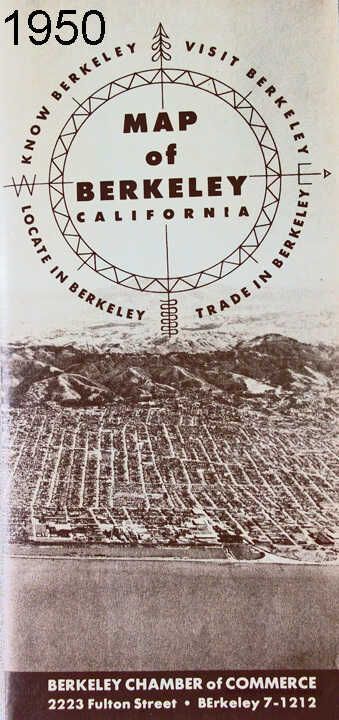
Map of Berkeley CaliforniaEntry/Object ID
1978.043.264Description
Issued as a folded map by the Berkeley Chamber of Commerce.
Map shows Ashby Avenue alteration, with bus line using the new cutoff.
For earlier maps see 1978.043.012 and 1978.043.015.
Two copies, with same Thomas Brothers number in lower left corner, but with different printing and pictures on pamphlet side.Lexicon
Nomenclature 4.0
Nomenclature Secondary Object Term
MapNomenclature Primary Object Term
CartographNomenclature Sub-Class
Graphic DocumentsNomenclature Class
Documentary ObjectsNomenclature Category
Category 08: Communication ObjectsSearch Terms
Photos, Folded Street MapLocation
Other
Drawer FB-3, Folder 3f