HUB
Collections
Classifications
About
App
Entrance to San Francisco Bay
Map
-
Berkeley Historical Society & Museum
Name/Title
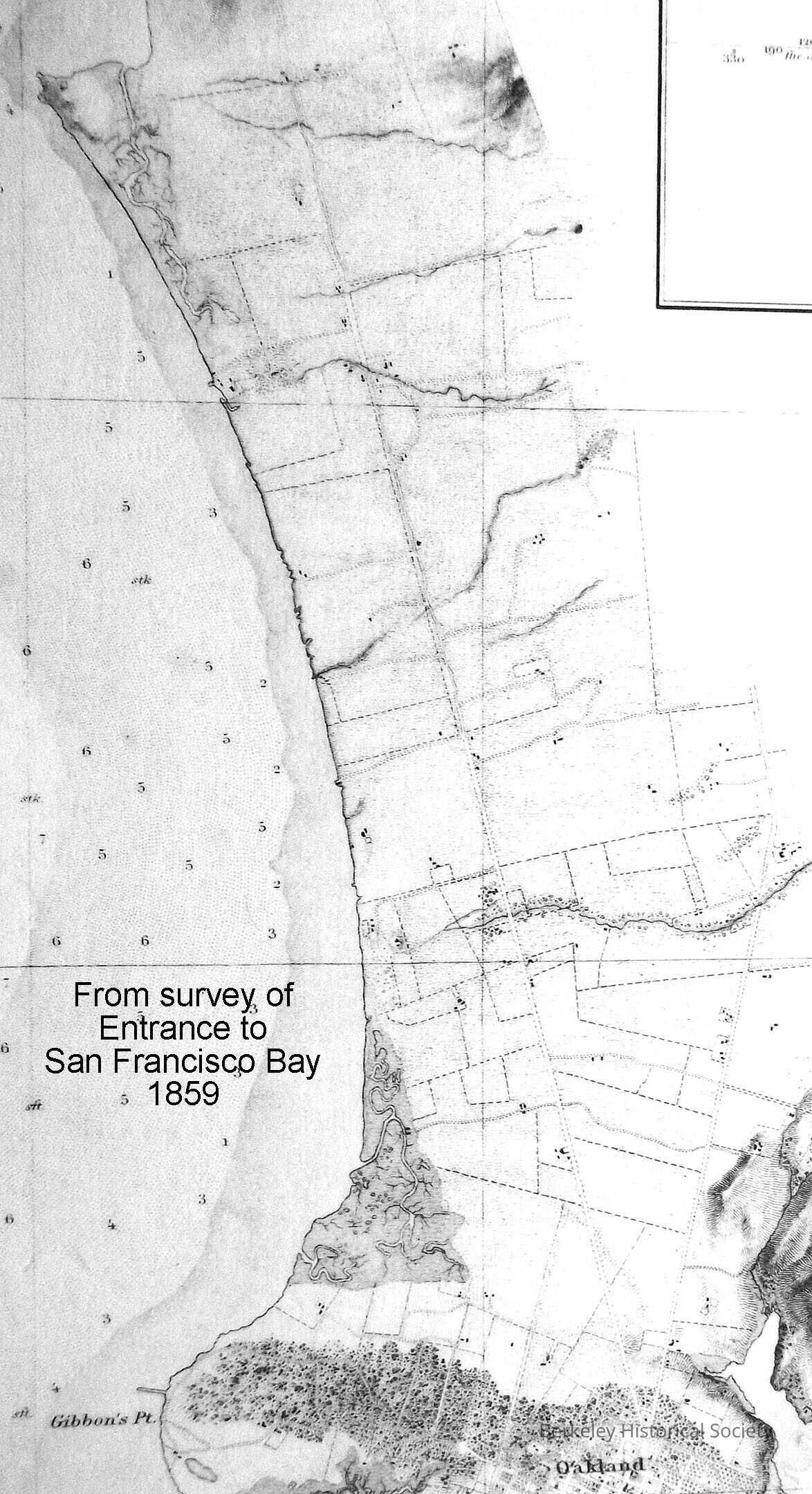
Entrance to San Francisco Bay
Entry/Object ID
1978.043.276
Description
From a Trigonometrical Survey, Survey of the Coast of the United States, 1859. Shows shoreline of East Bay from San Antonio Creek through Albany Hill. Has inset chart showing depths from Golden Gate to Farallone Islands. Mounted on board.
Lexicon
Nomenclature 4.0
Nomenclature Secondary Object Term
Map
Nomenclature Primary Object Term
Cartograph
Nomenclature Sub-Class
Graphic Documents
Nomenclature Class
Documentary Objects
Nomenclature Category
Category 08: Communication Objects
LOC Thesaurus for Graphic Materials
"Maps"
Search Terms
San Francisco Bay,
Oakland,
San Antonio Creek
Map Details
Date Published
1859
Dimensions
Height
10 in
Width
17 in
Location
Other
Drawer FB-5a, Folder 5ah