HUB
Collections
Classifications
About
App
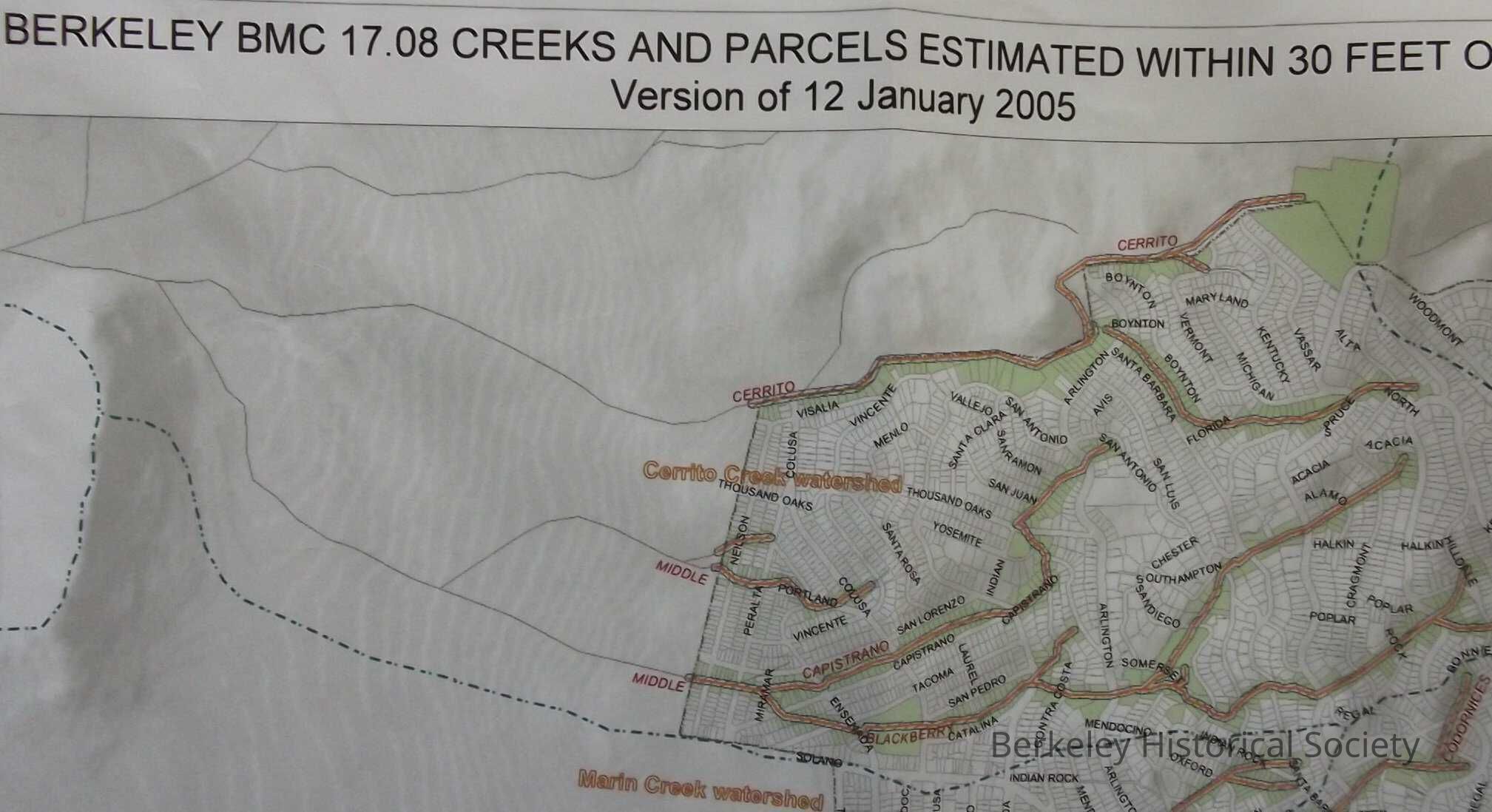
City of Berkeley BMC 17.08, Creeks and Parcels estimated within 30 feet of these creeks, Version 12, January 2005
Map
-
Berkeley Historical Society & Museum
2005 Creeks
Name/Title
City of Berkeley BMC 17.08, Creeks and Parcels estimated within 30 feet of these creeks, Version 12, January 2005
Entry/Object ID
1978.043.139
Description
Color Copy. USGS 1/24,000 scale topographic quadrangles prepared by NAD27. Drawer FB-3, Folder 3c
Lexicon
Nomenclature 4.0
Nomenclature Secondary Object Term
Map
Nomenclature Primary Object Term
Cartograph
Nomenclature Sub-Class
Graphic Documents
Nomenclature Class
Documentary Objects
Nomenclature Category
Category 08: Communication Objects
LOC Thesaurus for Graphic Materials
"Maps"
Search Terms
"Berkeley Creeks"
Map Details
Date Published
2005
Dimensions
Height
30 in
Width
36 in
Location
Other
Drawer FB-3, Folder 3c