HUB
Collections
Classifications
About
App
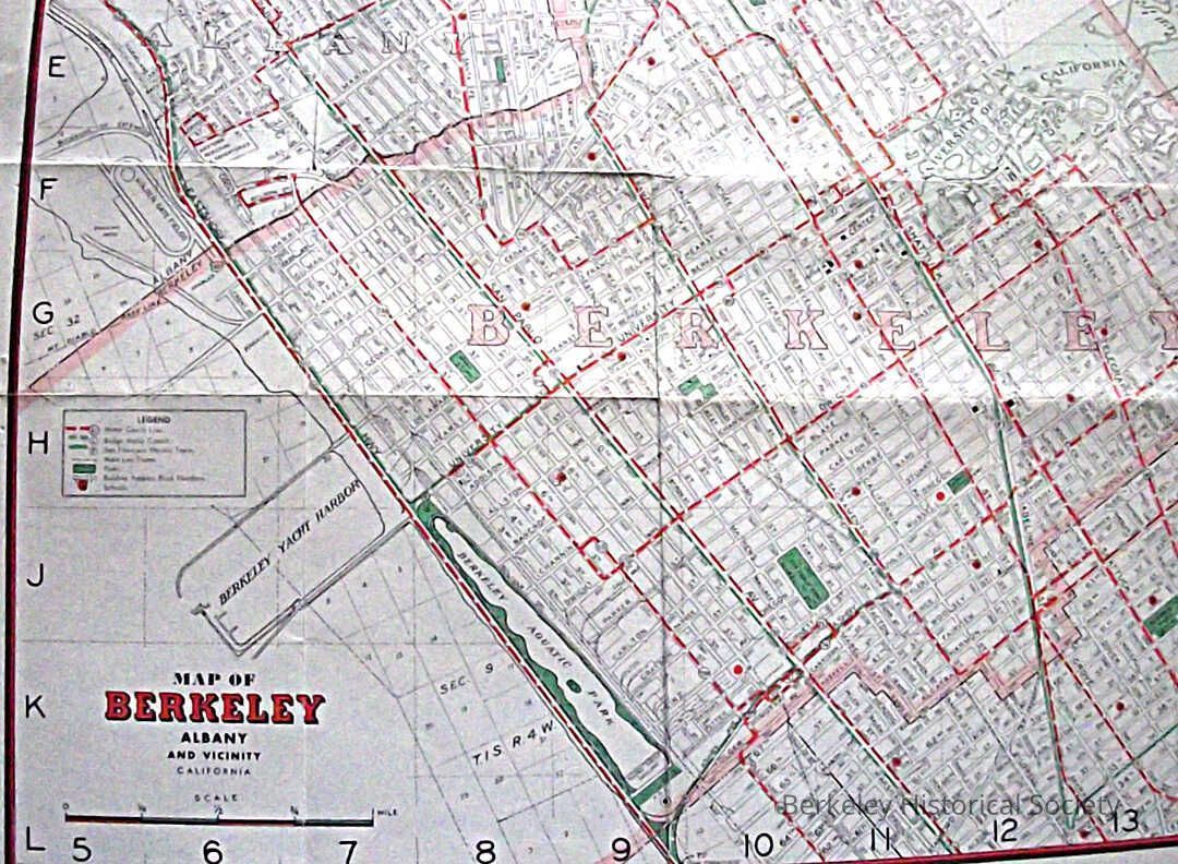
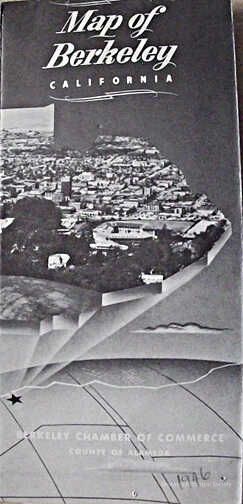
Map of Berkeley, Albany and vicinity, 1946
Map
-
Berkeley Historical Society & Museum
1946map2
Name/Title
Map of Berkeley, Albany and vicinity, 1946
Entry/Object ID
1978.043.216
Description
Street map of Berkeley showing bus routes in dashed red, Key System F train in solid green and parks, schools red dot. Various images of berkeley and text on reverse side.
Lexicon
Nomenclature 4.0
Nomenclature Secondary Object Term
Map
Nomenclature Primary Object Term
Cartograph
Nomenclature Sub-Class
Graphic Documents
Nomenclature Class
Documentary Objects
Nomenclature Category
Category 08: Communication Objects
Search Terms
"Folded Street Map"
Map Details
Date Published
1946
Dimensions
Height
16 in
Width
27 in