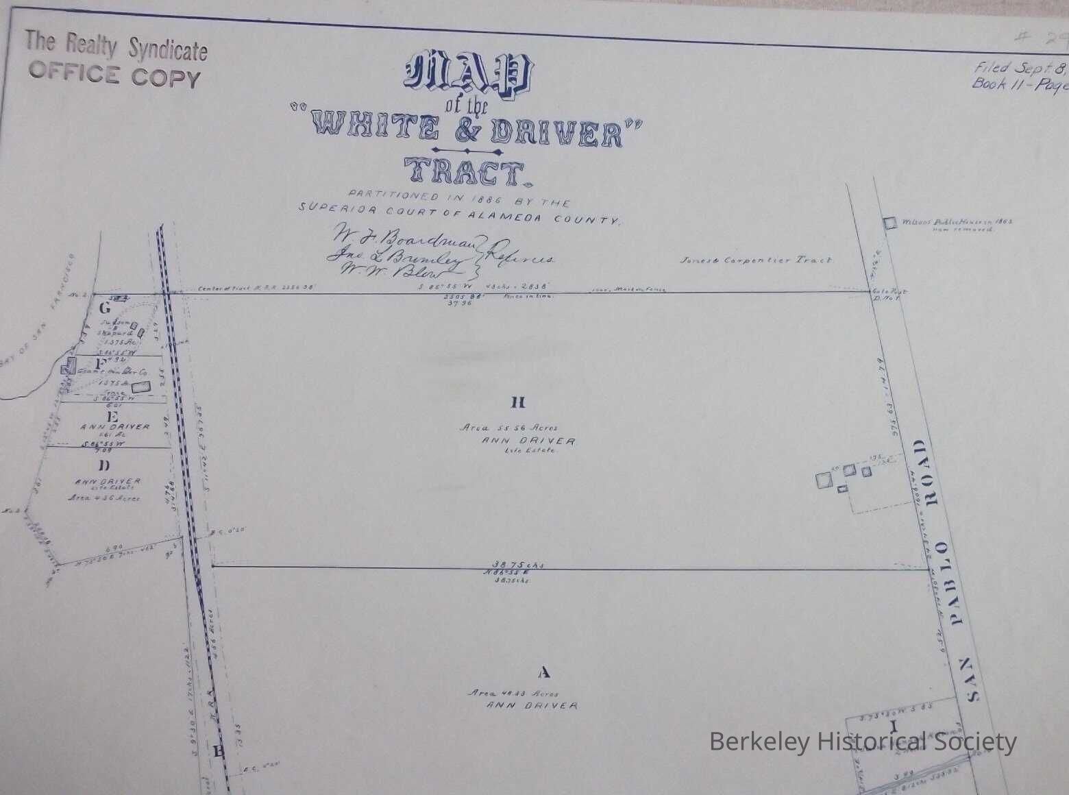
Map of the White & Driver Tract partitioned in 1886 by the Superior Court of California
Entry/Object ID
1978.043.150
Description
Tract map of land just north of the Codornices River, west of San Pablo.
Filed Sept 8, 1886, Book 11, Page 30. Map partitioned By Superior Court of Alameda County.
Stamp of Realty Syndicate, Office Copy
Signatures off W. F. Boardman, Jno L. Brimley. W. W. Blew.
Most of land owned by Ann Driver