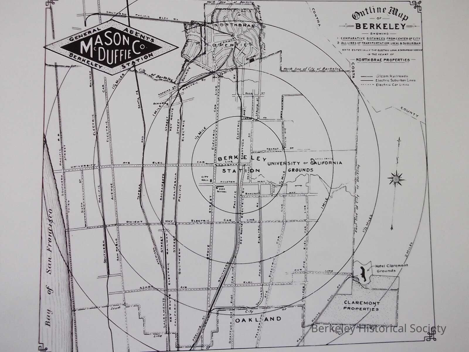
Outline map of Berkeley showing 1. comparative distances from center of the city 2. all lines of transportation, local & suburban...Northbrae properties.
Outline map of Berkeley showing 1. comparative distances from center of the city 2. all lines of transportation, local & suburban...Northbrae properties.
Entry/Object ID
1978.043.153
Description
Shows comparative distance from center of distance (to Northbrae).
This small BW map is a copy of inserts Mason McDuffie included in their sales map of Northbrae. It shows all the transit line, railroads, electric suburban Lines and electric car lines.