Name/Title
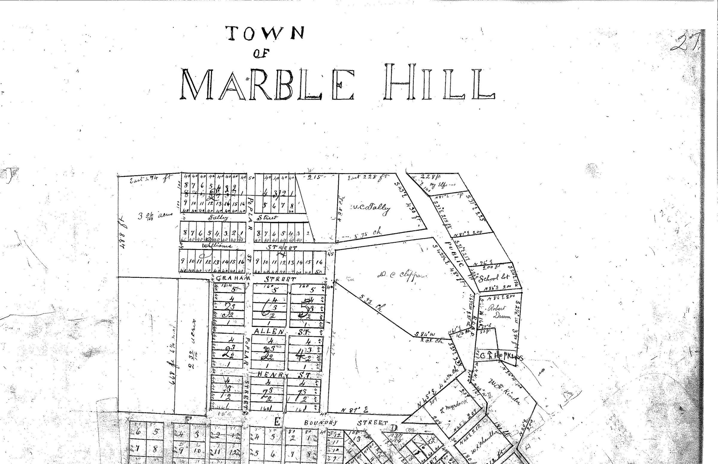
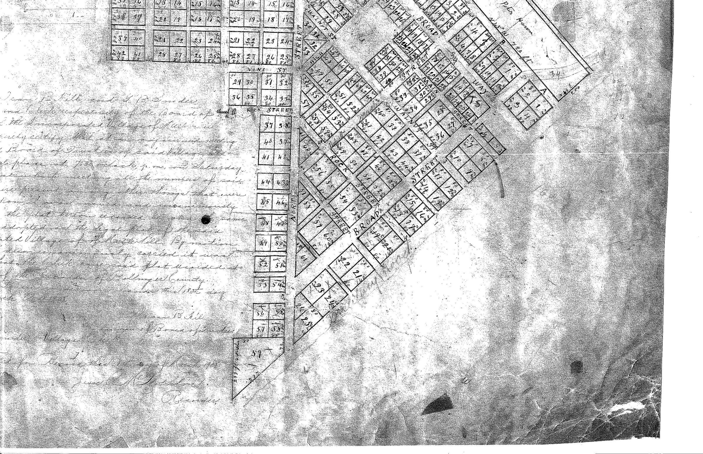
1906 Marble Hill City Plat MapDescription
Scanned section of 1906 map of Marble Hill showing the military road, once part of the Benge route, running along the bottom edge of the town. It is faintly marked.Acquisition
Accession
BCL-TOT-B-00003Source (if not Accessioned)
Bo County Recorders office, Marble Hill Court House; city plat maps booksNotes
A T.S. marking has been inserted to show the original courthouse location.