Name/Title
Section of 1869 Lutesville Plat MapDescription
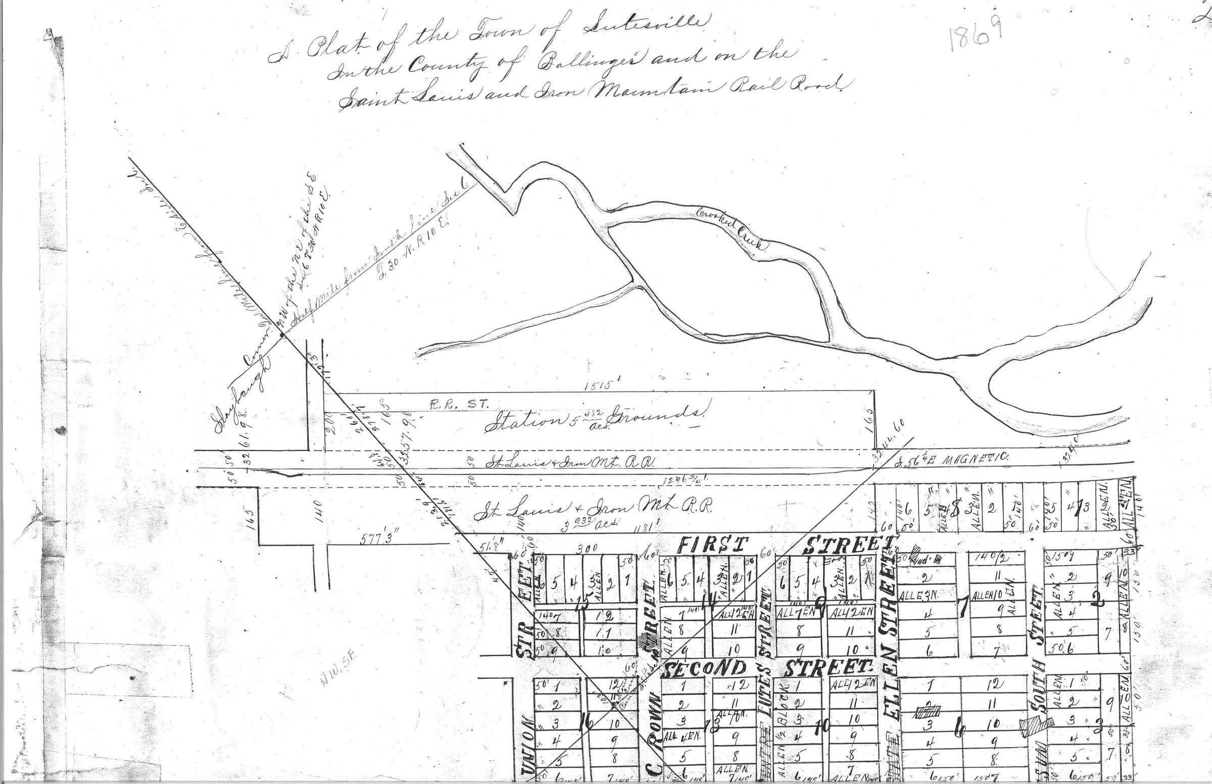
Scanned section of the 1869 Lutesville plat map that shows the 1838 creek ford and the Lutes house, a witness structure to the Benge route, located between numbers 2 and 3 on block 6 of the map. Location of Lutes matches 1837 state survey as well. Lutes house shown in section 6.Acquisition
Accession
BCL-TOT-B-00006Source (if not Accessioned)
Bollinger County Recorders Office