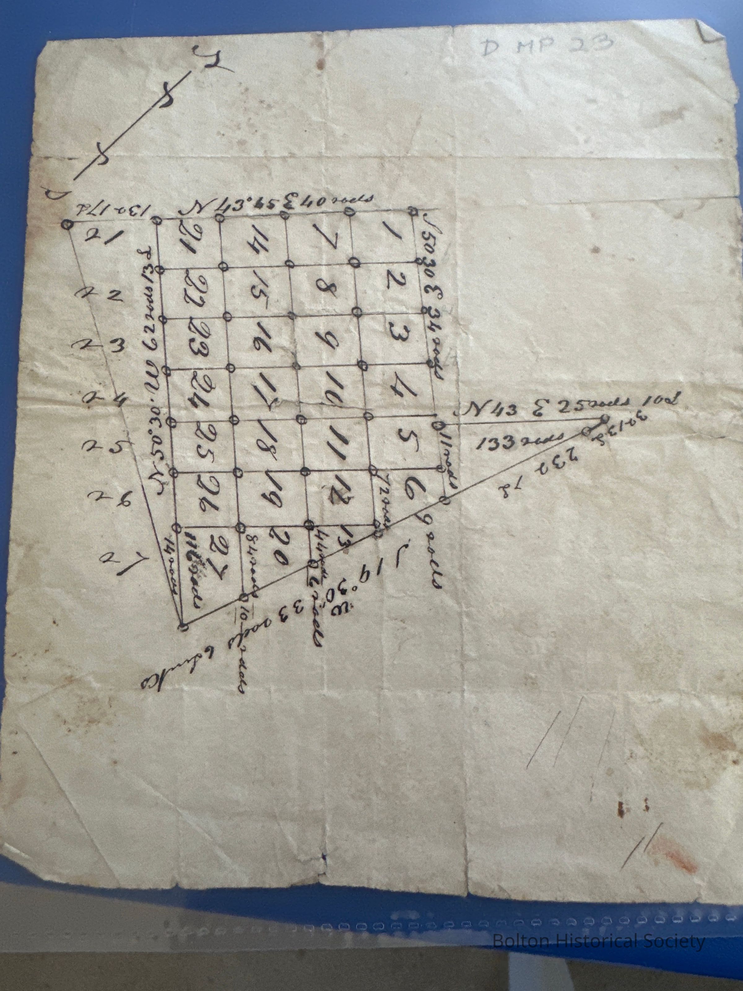
Name/Title
Land parcel planEntry/Object ID
D-MP23Description
Document - Map. Plan, probably of land parcel, 5 1/2” x 6 1/2”, pen and ink on buff paper. Parcel is shown divided into squares numbered 1 to 27. N-S direction and compass bearings noted. No source or date. Found in Wilder folder, so may be of Wilder property.Acquisition
Notes
How acquired: UnknownOther Names and Numbers
Other Names
Name Type
Object Type Code & NumberOther Name
D-MP23Name Type
Subject HeadingOther Name
Plot of Land ParcelName Type
Object HeadingOther Numbers
Number Type
Old BHS Catalog Created/ModifiedDateOther Number
01/07/2009Location
* Untyped Location
File Folder: Wilder Mansion (1)General Notes
Note Type
Cataloging NotesNote
Map.