Name/Title
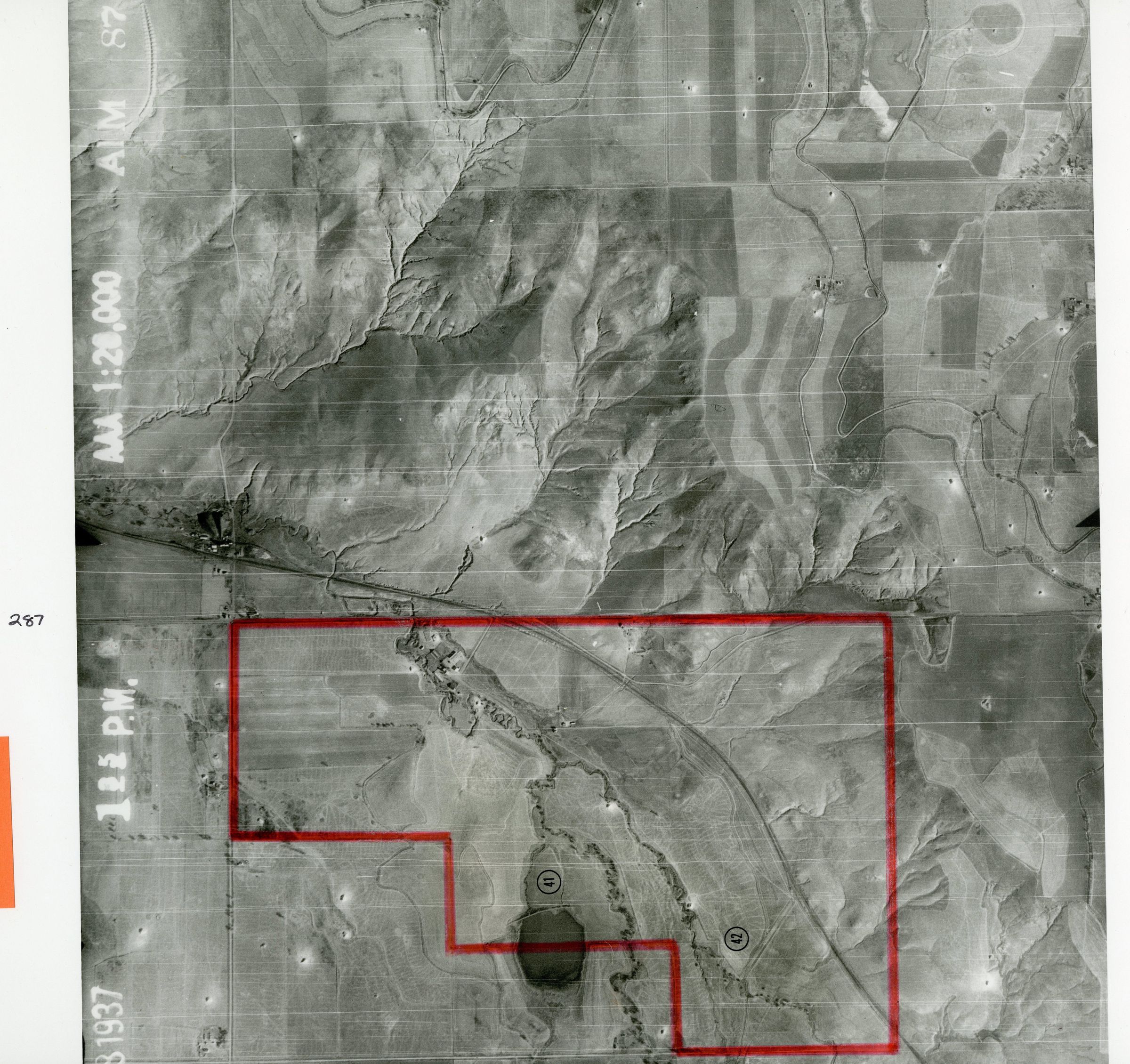
Aerial Photo of Dillon Rd. and Highway 287Entry/Object ID
2024.9.15Description
Item is a black-and-white aerial photograph of Broomfield taken on November 8, 1937 at 1:35 pm. The code "AIM 87 29" is present in the top right corner. Some areas on the map are numbered, and their borders are highlighted by a red marker. Dillon Road is labeled intersecting U.S. Highway 287 along the map's border in black ink. On the back, the words "Copy from the National Archives Record Group No. 145" were stamped onto the page in blue ink.Photograph Details
Subject Place
* Untyped Subject Place
Broomfield County, COCollection
Permanent CollectionLexicon
Nomenclature 4.0
Nomenclature Primary Object Term
PhotographNomenclature Sub-Class
Graphic DocumentsNomenclature Class
Documentary ObjectsNomenclature Category
Category 08: Communication Objects