Name/Title
MapEntry/Object ID
1987.15.214.108Scope and Content
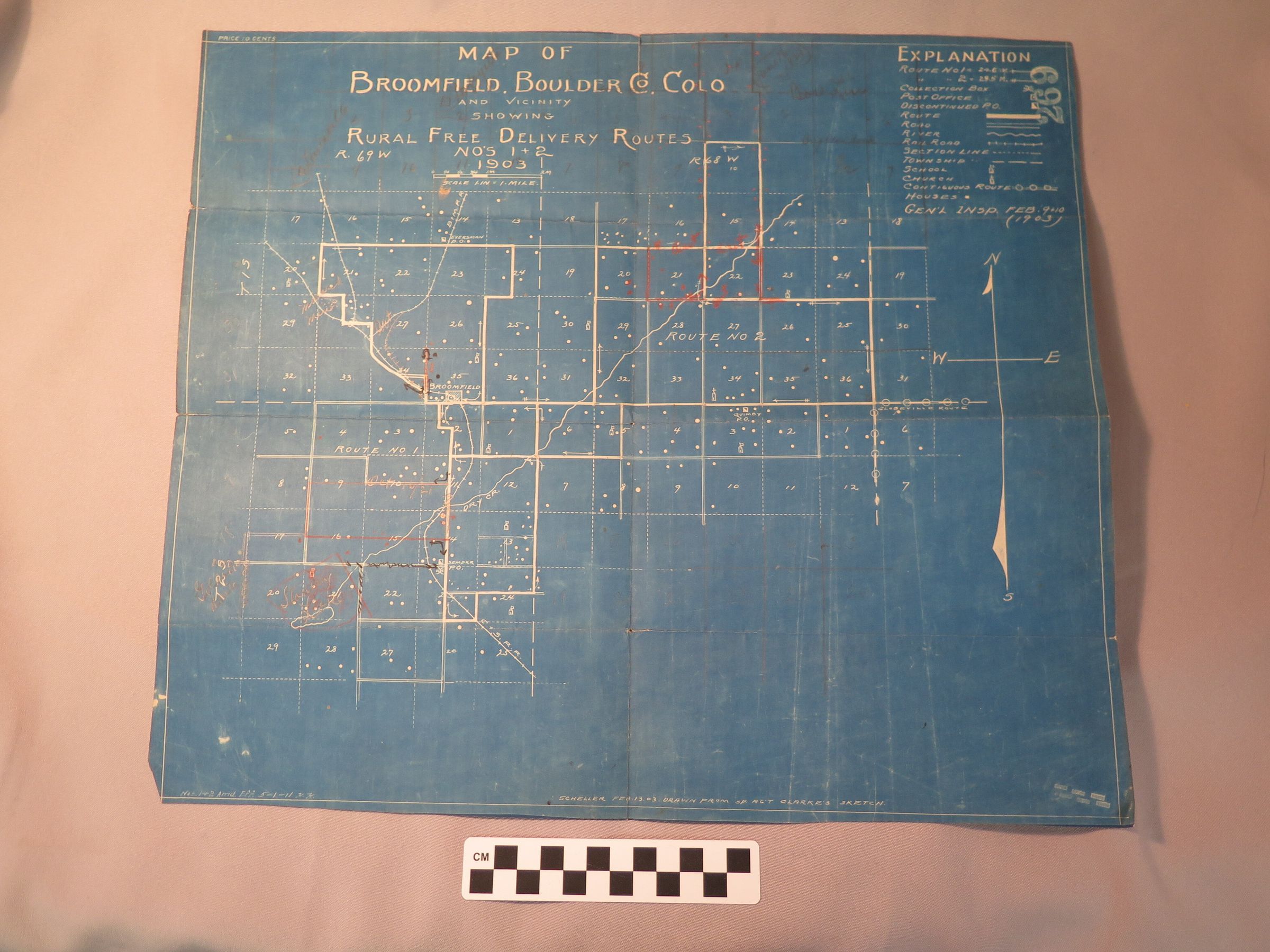
A blue map of Broomfield, Boulder Co. Colo and Vicinity showing Rural Free Delivery Routes No's 1+2, 1903.
White ink shows grid of county and routes, additional red, black, and pencil marks.
Explanation on upper right corner, and the number 269.
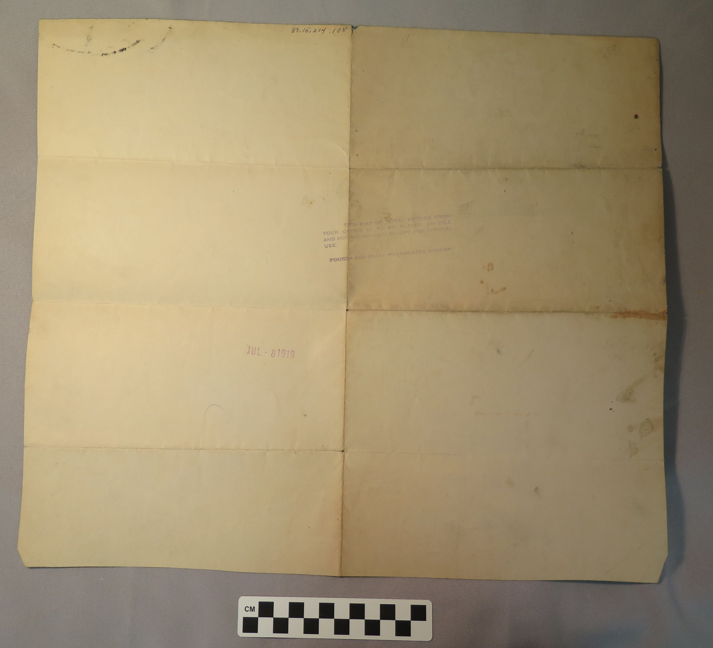
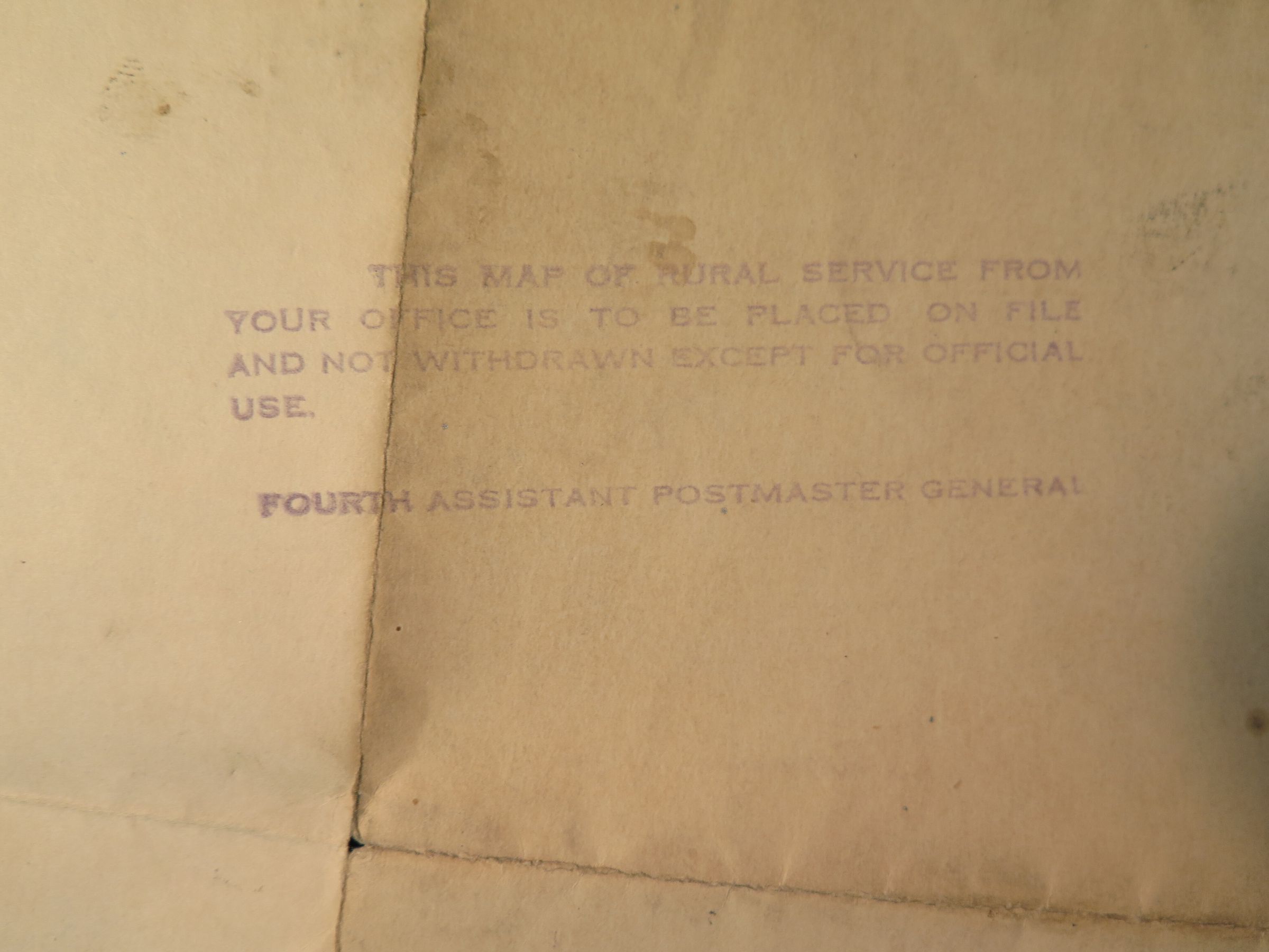
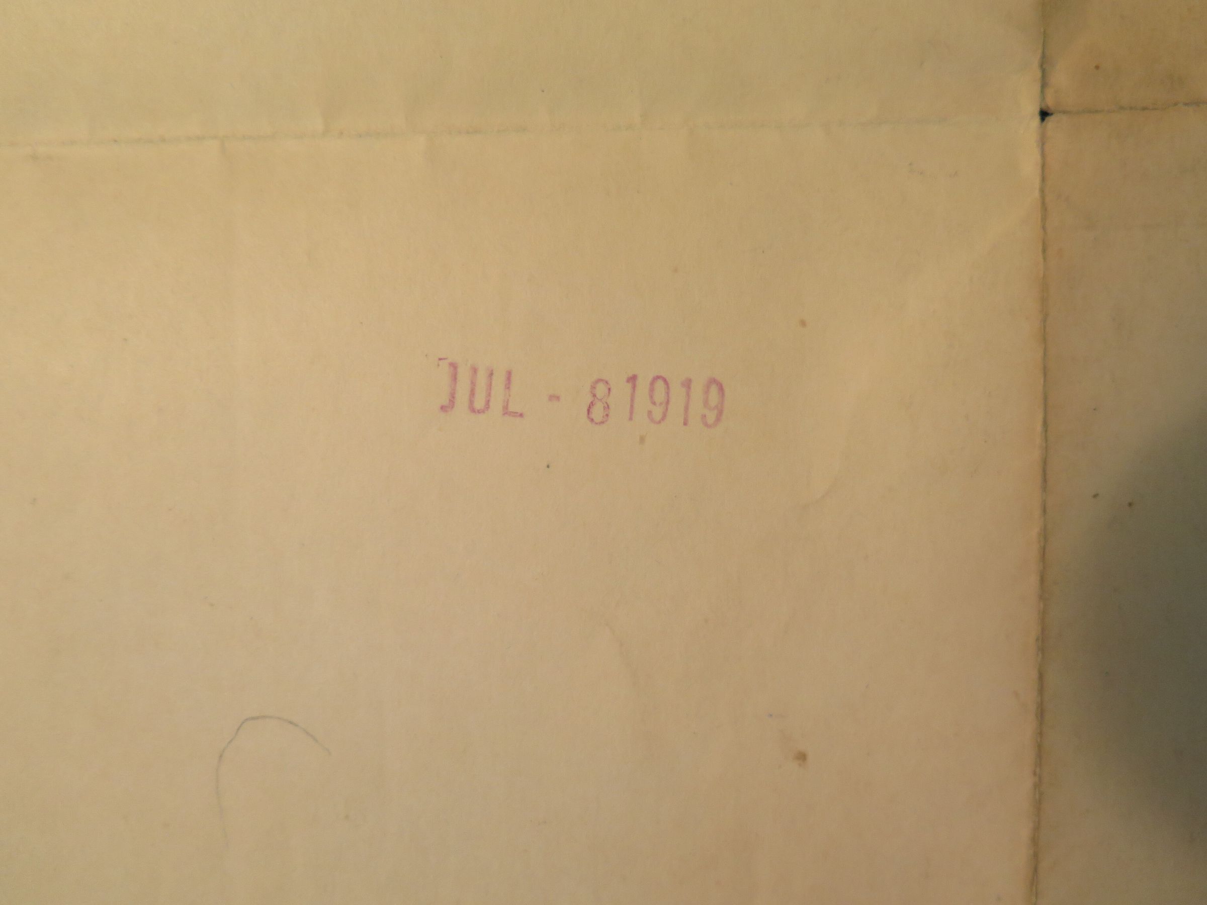
On back, purple ink: "This map of rural service from your office is to be placed on file and not withdrawn except for official use. Fourth assistant postmaster general." And the stamp: "Jul - 81919."Collection
Permanent CollectionLexicon
Nomenclature 4.0
Nomenclature Secondary Object Term
MapNomenclature Primary Object Term
CartographNomenclature Sub-Class
Graphic DocumentsNomenclature Class
Documentary ObjectsNomenclature Category
Category 08: Communication Objects