Name/Title
1988 Master Plan for BroomfieldEntry/Object ID
2016.11.13Scope and Content
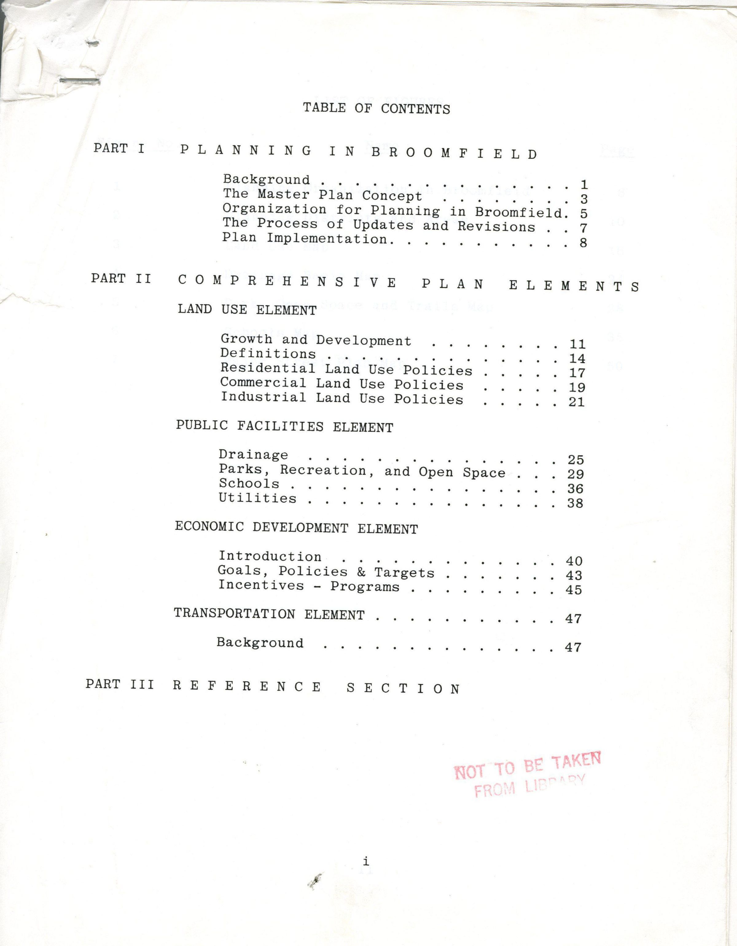
A 54+ (and a 16 page reference section containing graphs) page document outlining the master plan for Broomfield, 1988. Contains plans for land use, public facilities, economic development, and transportation. Land use includes growth and development, residential, commercial, and industrial land use policies. Includes population projections, employment estimates, and street plans. Includes map from April, 1986 for parks, open space, and trails. Includes a 1986 map of schools. Includes a map for a street plan. Includes graphs for employment growth, population growth, 1987 household income, 1987 household size, 1987 owner vs. renter, land area growth, land use growth, population by age, population by race, dwelling type, sales tax revenue, projected employment growth, and projected population growth.Collection
Permanent CollectionLexicon
Nomenclature 4.0
Nomenclature Secondary Object Term
PlanNomenclature Primary Object Term
ProjectionNomenclature Sub-Class
Graphic DocumentsNomenclature Class
Documentary ObjectsNomenclature Category
Category 08: Communication ObjectsArchive Details
Date(s) of Creation
Jun 30, 1988