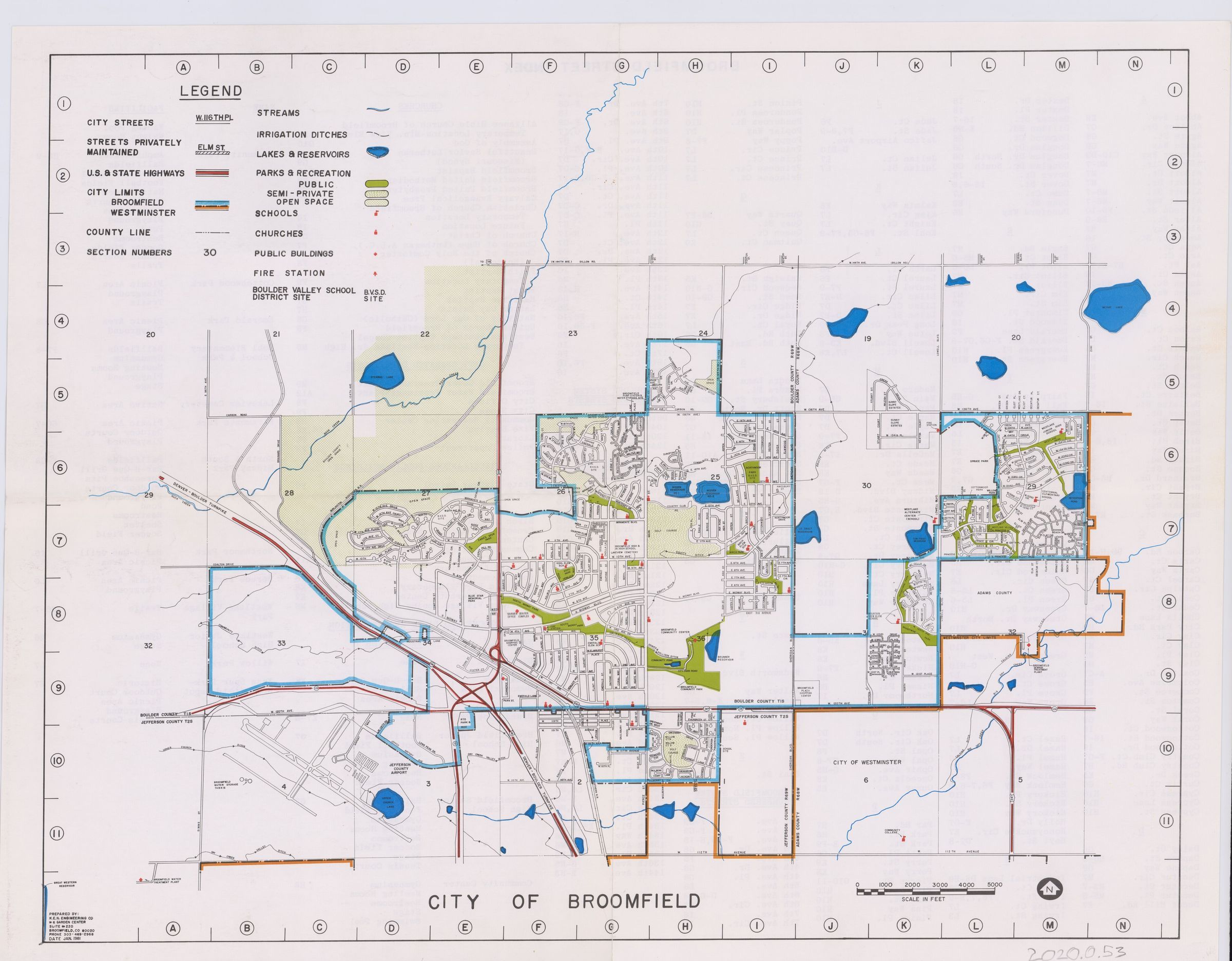
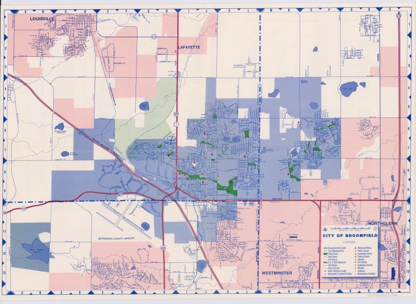
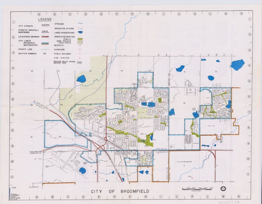
Name/Title
City of Broomfield MapEntry/Object ID
2020.0.52Scope and Content
Shows a map of broomfield likely from the late 70s including city limits, streets, open space, planned streets, Offices, Libraries, Community Centers, Schools Churches, Fire stations, Museums, Cemeteries, highways, and various other things. A street name index can be found on the back.Lexicon
Nomenclature 4.0
Nomenclature Secondary Object Term
MapNomenclature Primary Object Term
CartographNomenclature Sub-Class
Graphic DocumentsNomenclature Class
Documentary ObjectsNomenclature Category
Category 08: Communication ObjectsArchive Details
Date(s) of Creation
1978 - 1980Archive Notes
Date(s): Late 70s