Name/Title
City of Broomfield Public Urbanization Area Land Use MapEntry/Object ID
2016.11.28Scope and Content
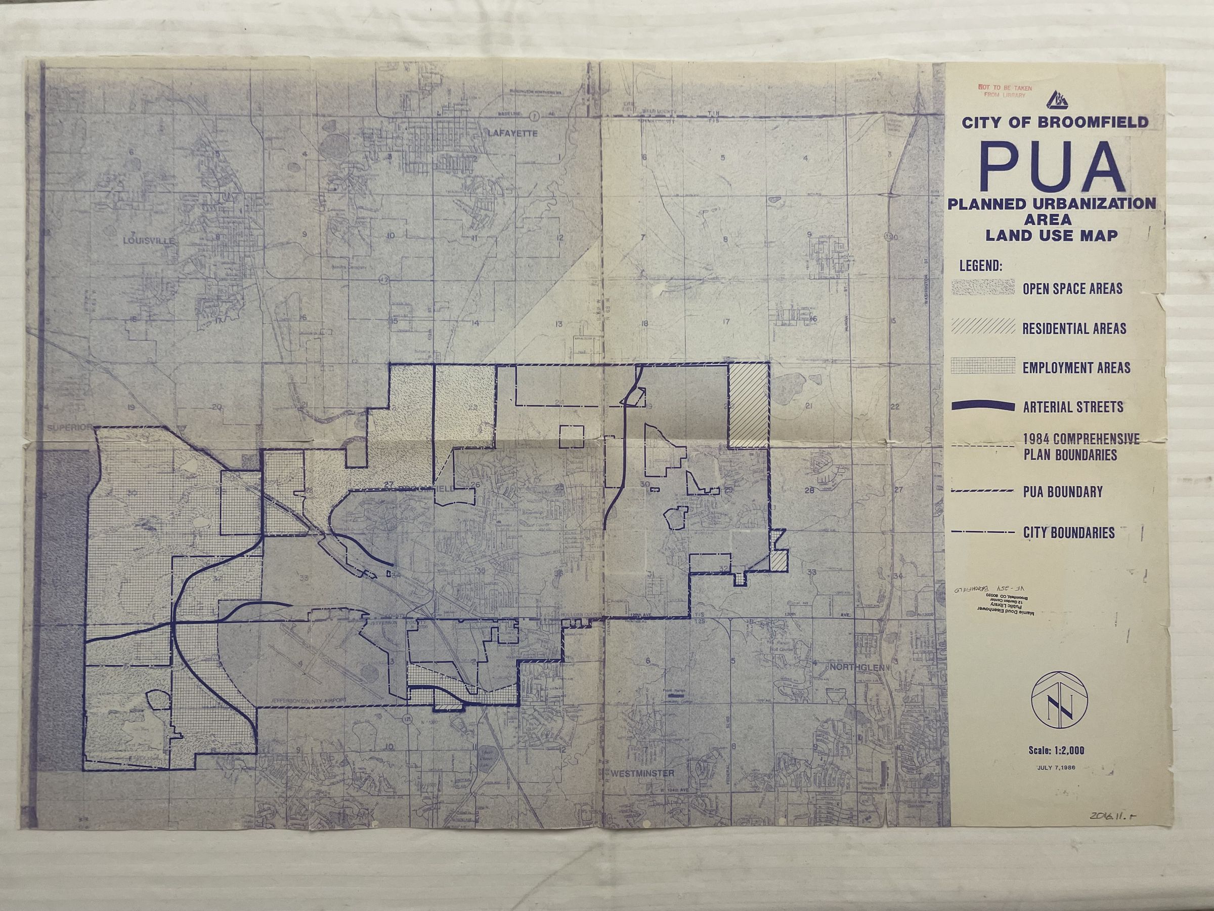
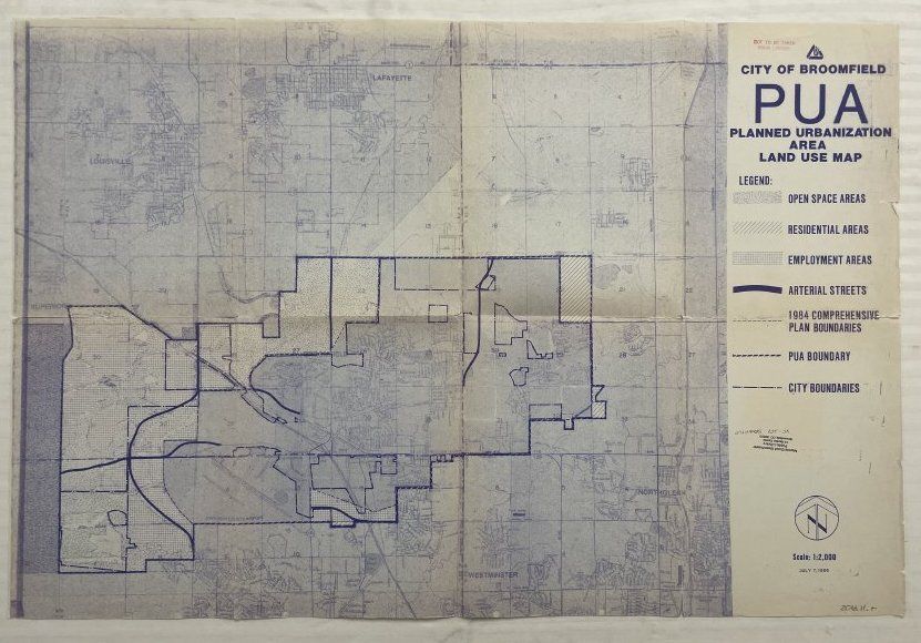
Shows the zoning map of land area in broomfield, with open space, residential areas, "employment areas" (most likely commercial areas), arteroa; streats, a plan from 1984, and the current city boundaries of broomfield.Collection
Permanent CollectionLexicon
Nomenclature 4.0
Nomenclature Secondary Object Term
MapNomenclature Primary Object Term
CartographNomenclature Sub-Class
Graphic DocumentsNomenclature Class
Documentary ObjectsNomenclature Category
Category 08: Communication ObjectsArchive Details
Date(s) of Creation
Jul 7, 1986