Name/Title
Aerial Photo with Youngfield St. intersecting 44th Ave.Entry/Object ID
2024.9.5Description
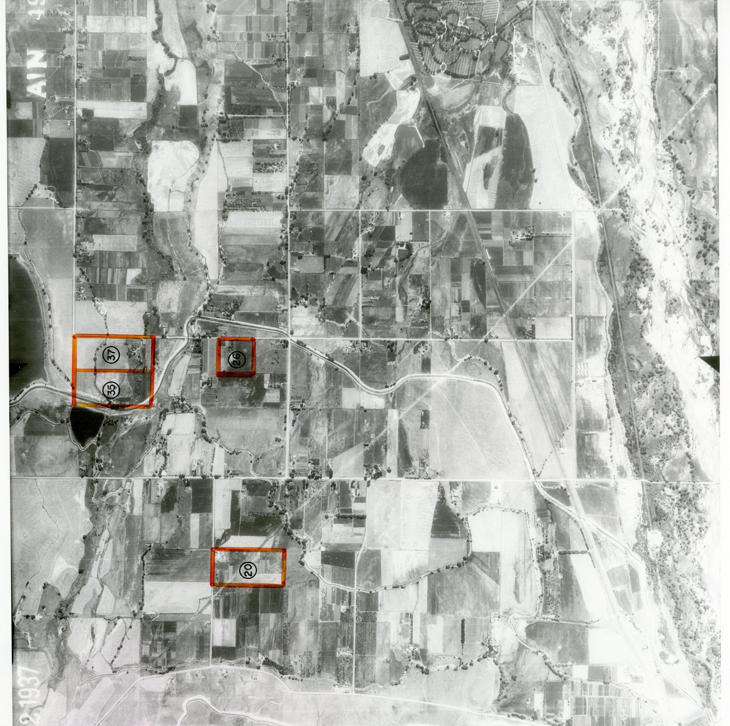
Item is a black-and-white aerial photograph of Broomfield taken on July 22, 1937. The code "AIN 49 21" is present in the top right corner. Some areas of the map are numbered, and their borders are highlighted by an orange marker. Youngfield Street is labeled intersecting 44th Avenue, and Mount Olivet Cemetery is labeled on the side with black pen. Attached to the map by a piece of red ribbon is a notice from the General Services Administration from the National Archives and Record Service confirming that the document is correct. It was signed by Charles E. Taylor, Acting Chief at the Center for Cartographic and Architectural Archives, on November 19, 1980. This paper is also marked with a bright orange seal.Photograph Details
Subject Place
* Untyped Subject Place
Broomfield County, COCollection
Permanent CollectionLexicon
Nomenclature 4.0
Nomenclature Primary Object Term
PhotographNomenclature Sub-Class
Graphic DocumentsNomenclature Class
Documentary ObjectsNomenclature Category
Category 08: Communication Objects