Name/Title
Map of Broomfield 1931Entry/Object ID
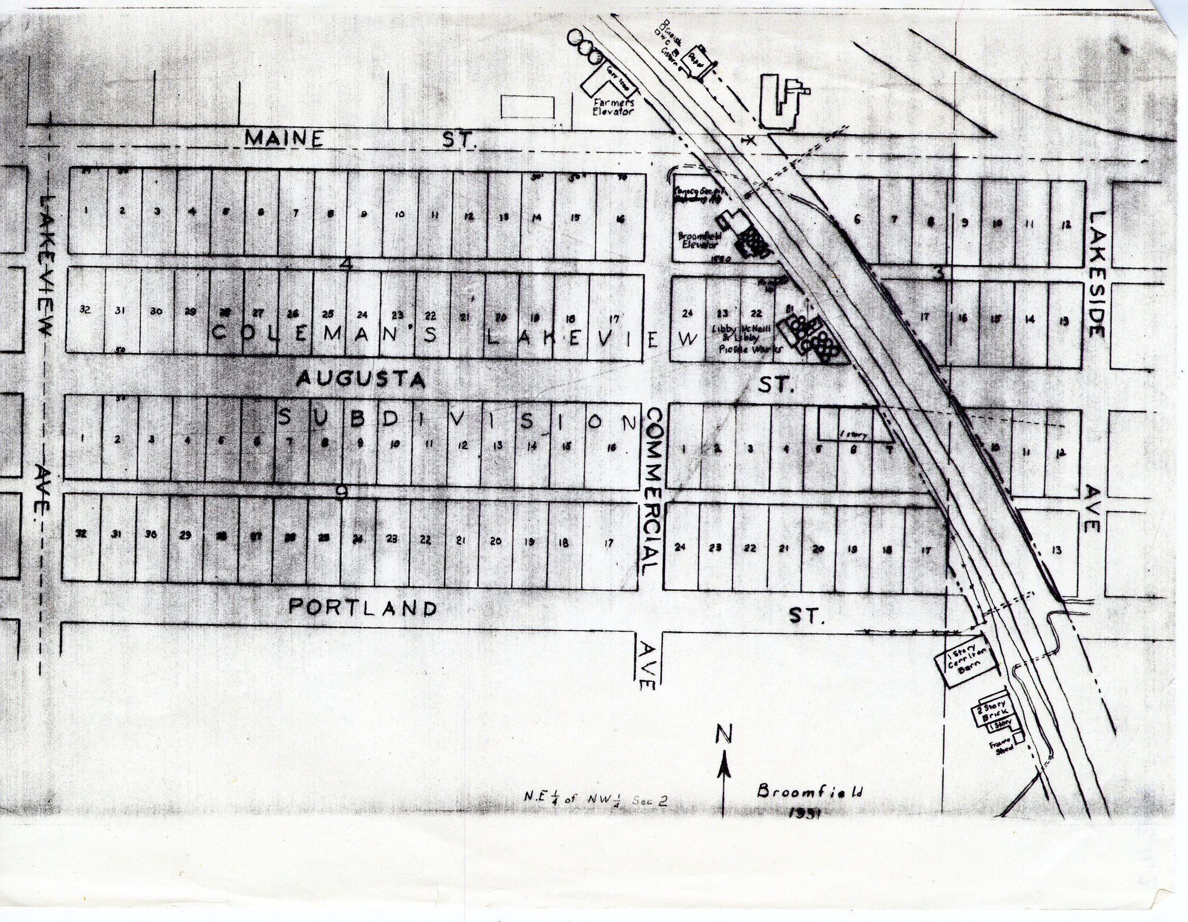
2023.11.3Scope and Content
This is a map of Broomfield from 1931. The map depicts the planning of some subdivisions near modern day, 120th Avenue and Highway 287. Written on top of the planned subdivisions says 'Coleman's Lakeview Subdivision.' On right side of the map, the train tracks are visible, along with the grain silos and the Depot, as well as some other old buildings.
Coleman, the man designing the subdivision, was from Maine, so all the East-West running streets are named after places in Maine.
Another advertisement (2023.3.49) in the archives spells "Coleman" as "Colman".Collection
Permanent CollectionLexicon
Nomenclature 4.0
Nomenclature Secondary Object Term
MapNomenclature Primary Object Term
CartographNomenclature Sub-Class
Graphic DocumentsNomenclature Class
Documentary ObjectsNomenclature Category
Category 08: Communication Objects