Name/Title
Map of Broomfield HeightsEntry/Object ID
2022.0.119Scope and Content
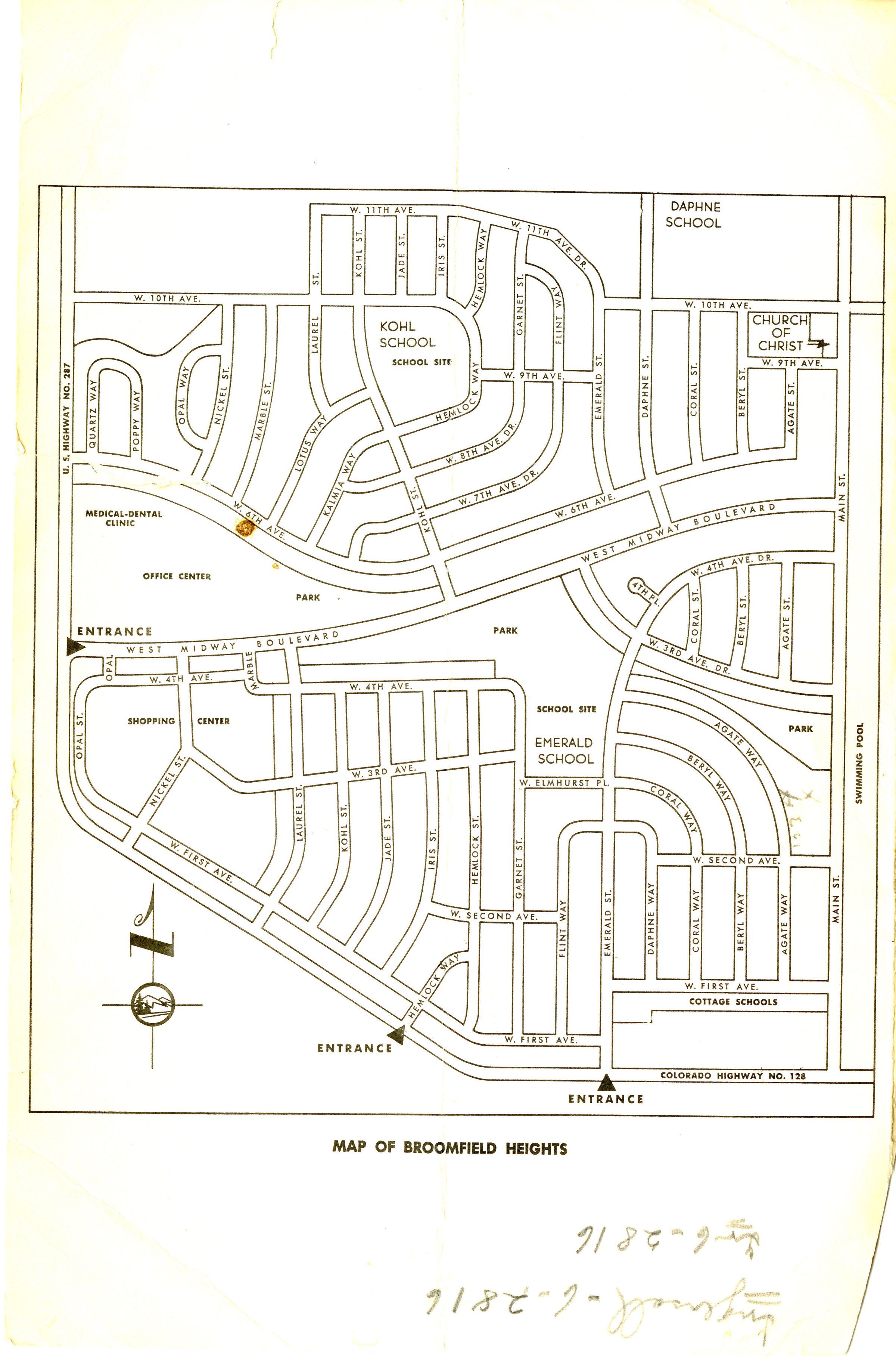
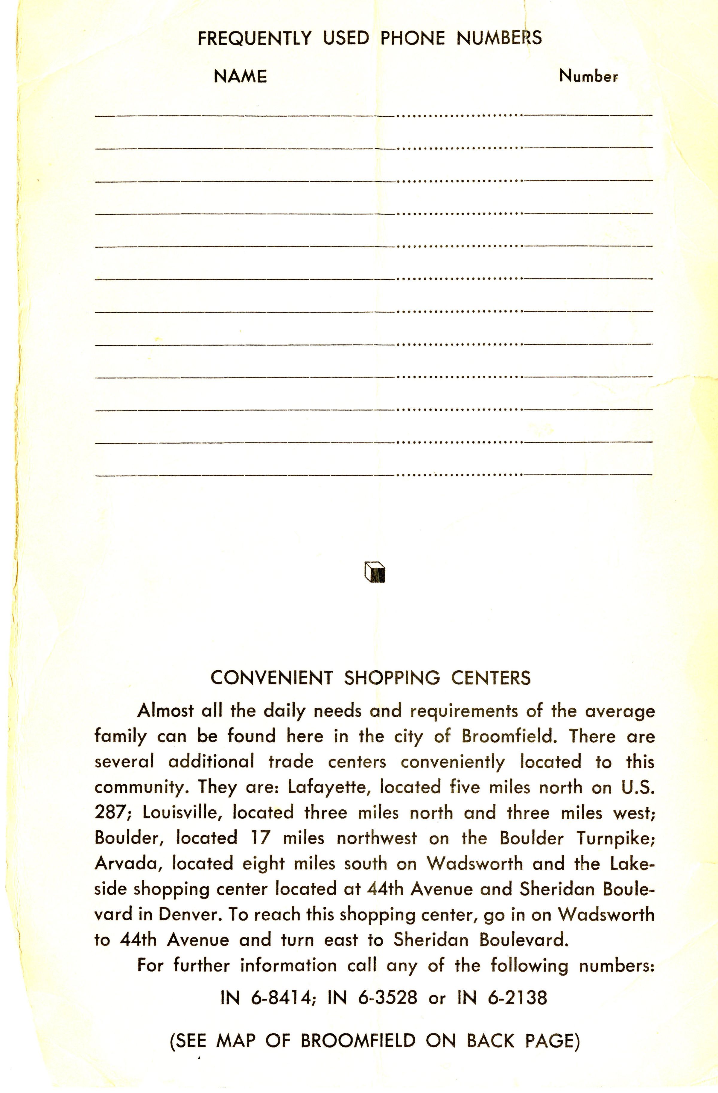
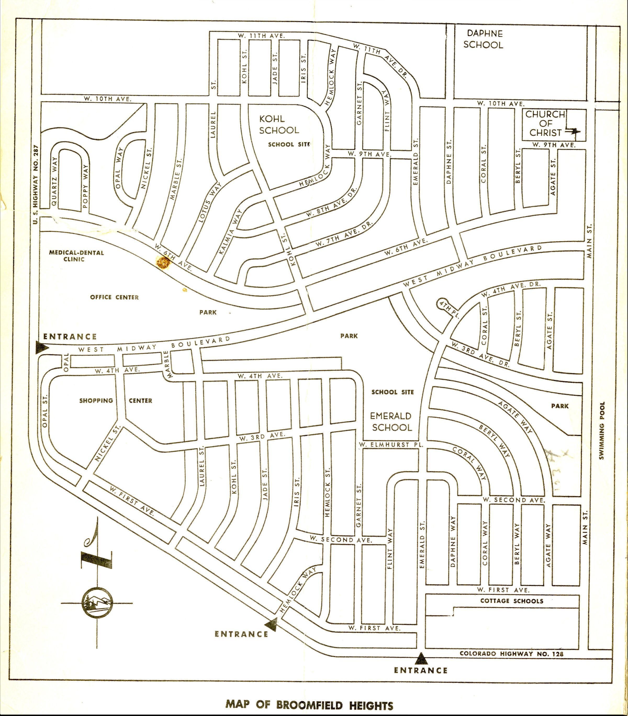
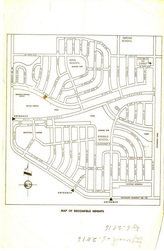
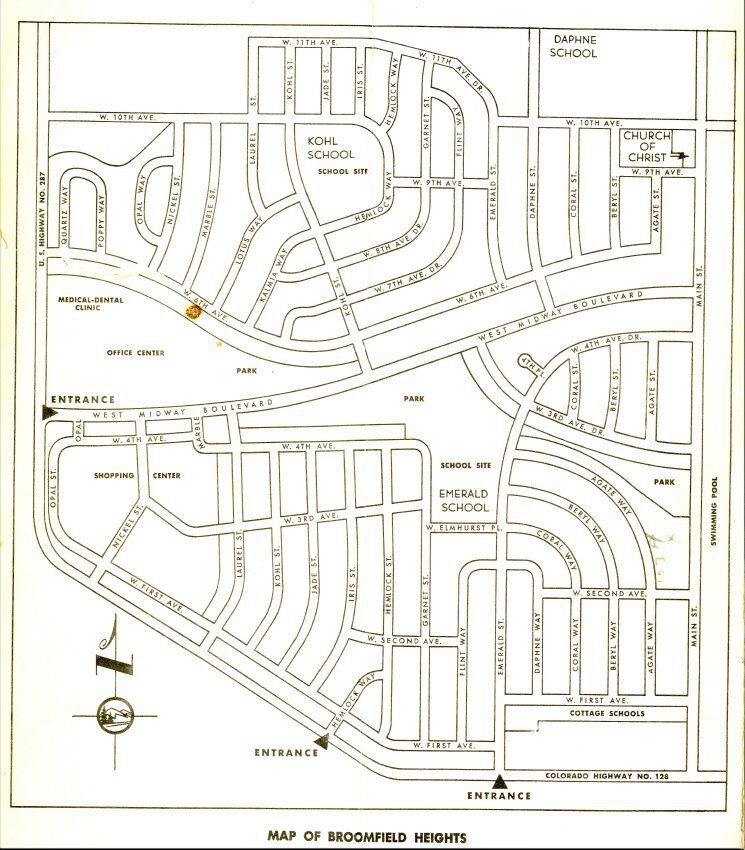
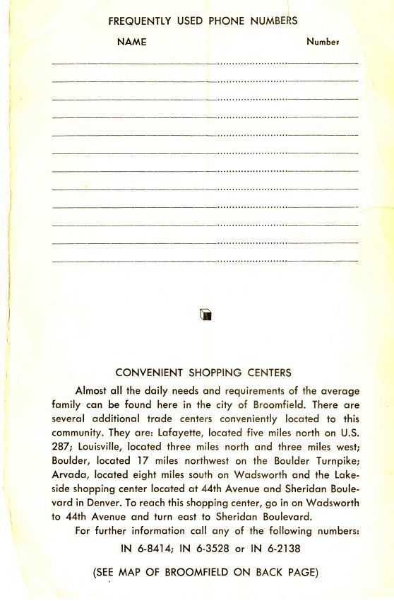
Map of Broomfield Heights showing First and Second Filing. It has a perimeter from Daphne School to the Main Street Swimming Pool to the Colorado Highway #128, to US Highway #287. There is some cursive written upside down not legible. The numbers 6-2816 are listed twice. On the back is Frequently used phone numbers and then it goes into detail about the shopping centers and where they are located.Collection
Permanent CollectionLexicon
Nomenclature 4.0
Nomenclature Secondary Object Term
MapNomenclature Primary Object Term
CartographNomenclature Sub-Class
Graphic DocumentsNomenclature Class
Documentary ObjectsNomenclature Category
Category 08: Communication ObjectsArchive Details
Date(s) of Creation
1959 - 1965Archive Notes
Date(s): c. 1963