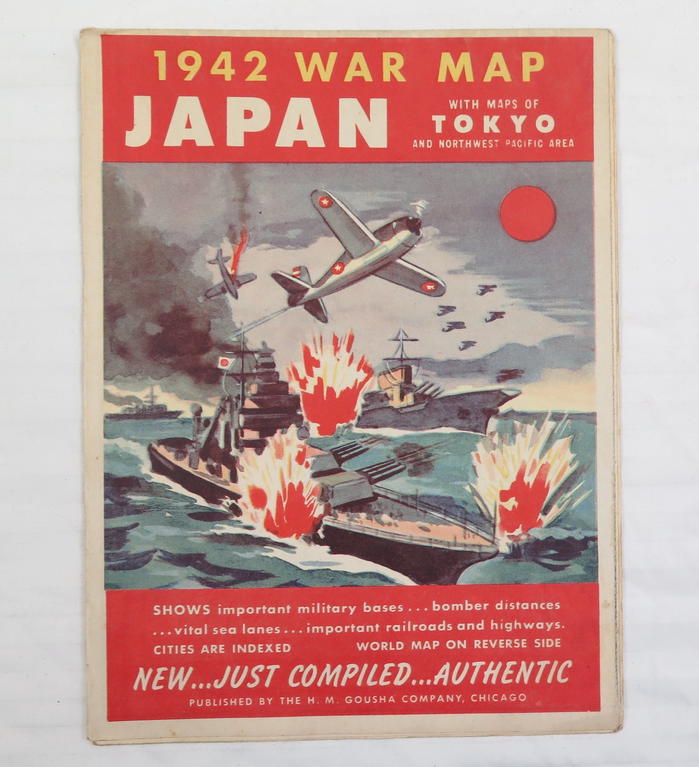
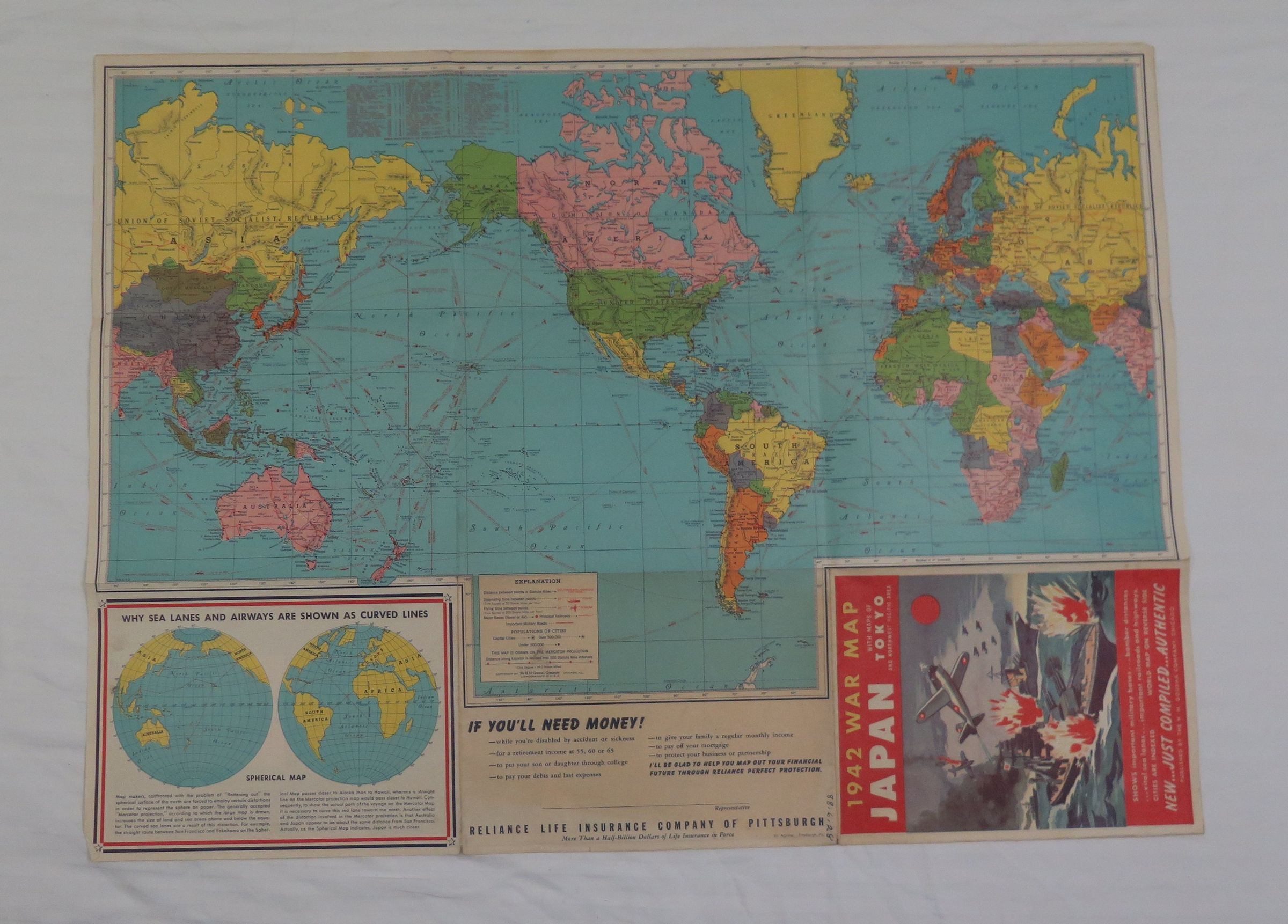
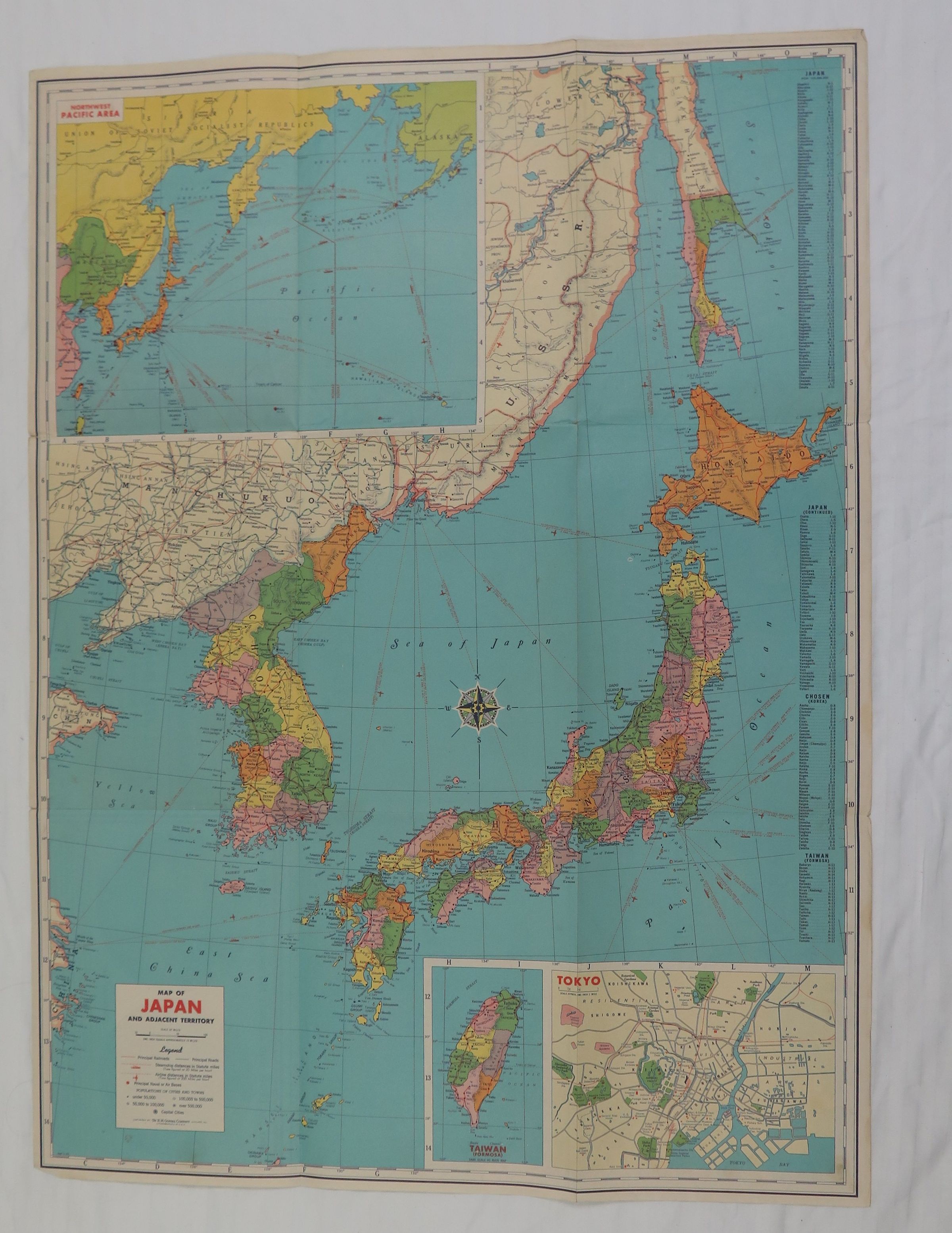
This is a WWII map of Japan. The map title is "1942 War Map/ Japan/ With Maps of Tokyo and Northwest Pacific Area". The red lines on the map are the "Air and steamer distances between objectives with flying and sailing time". The map was published by the H.M. Gousha Company in Chicago. The map measures 20" (w) x 27" (l).