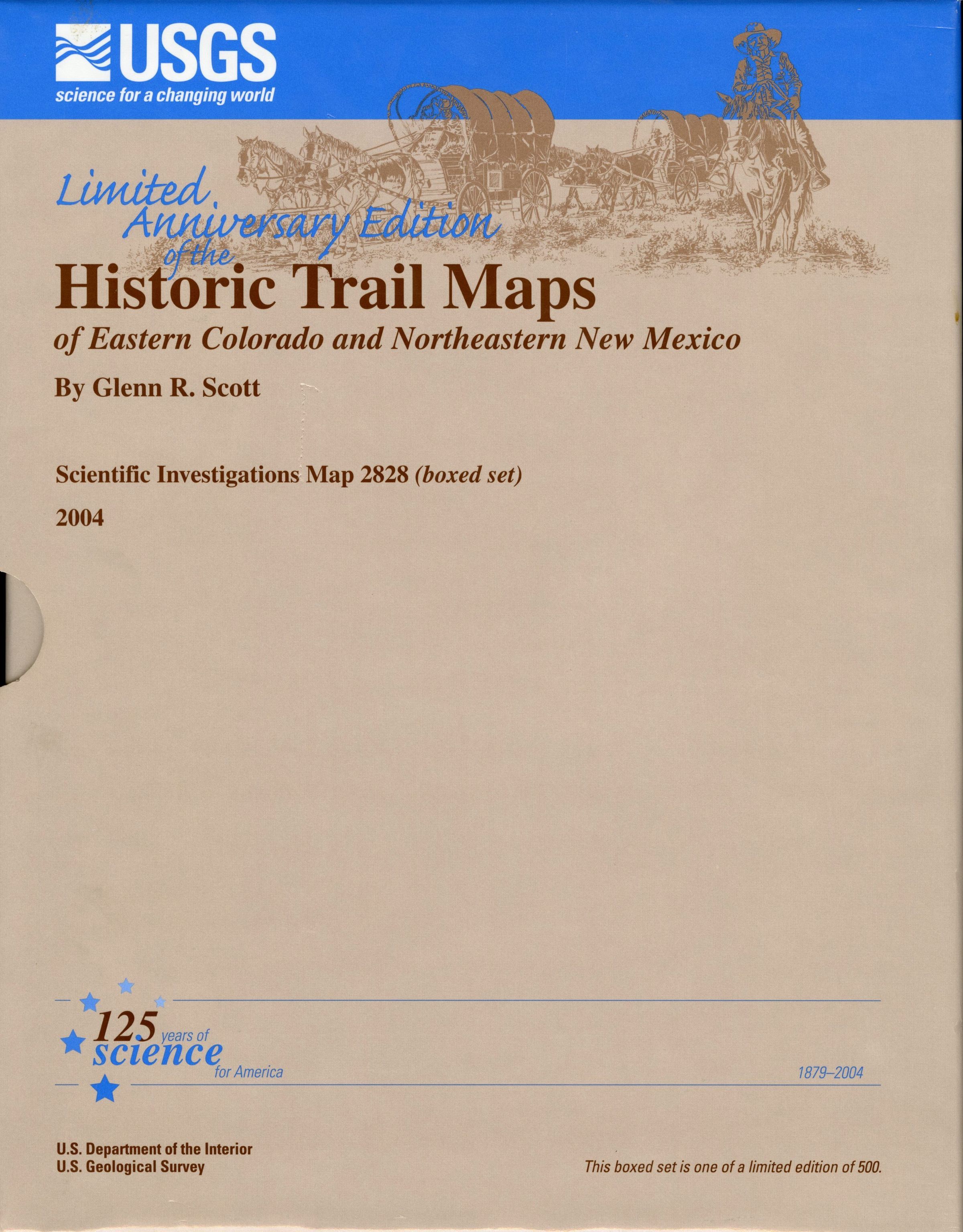
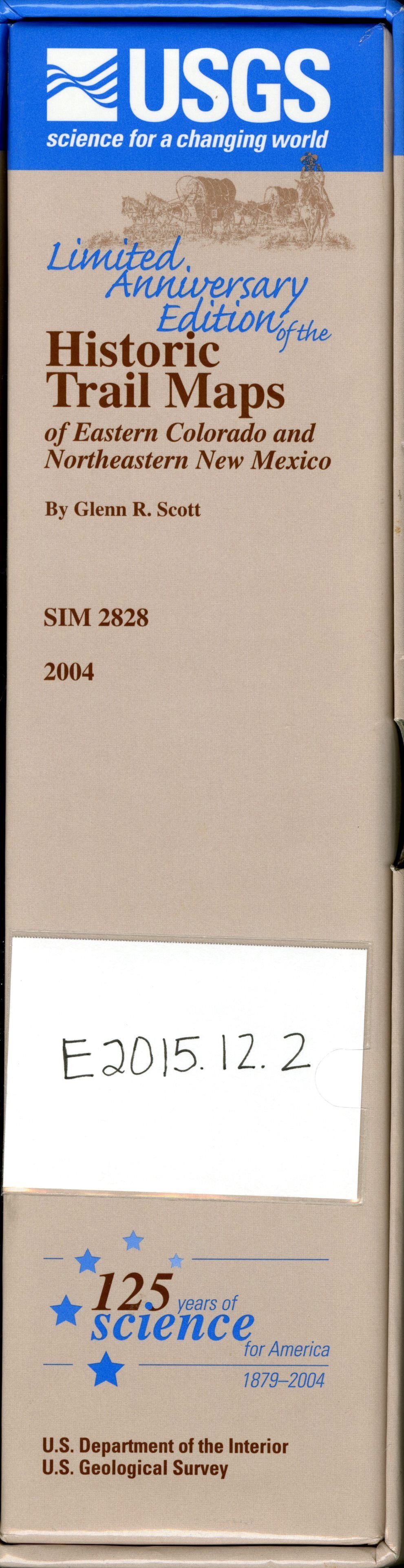
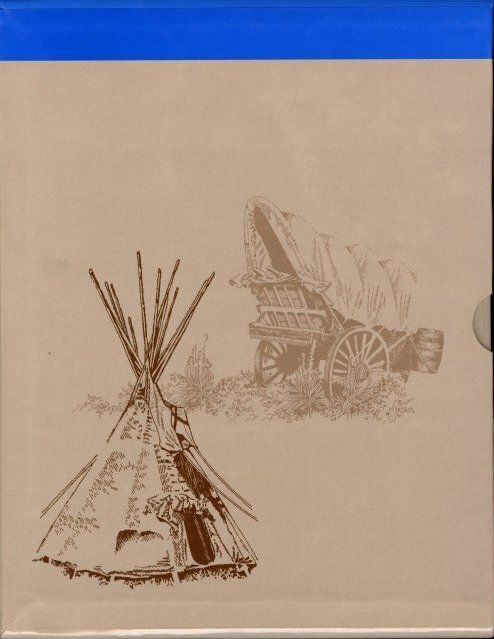
Limited Anniversary Edition of the Historic Trail Maps of Eastern Colorado and Northeastern New Mexico
Entry/Object ID
E2015.12.2A-M
Description
This limited-edition boxed set contains 15 maps created by Glenn Scott of historical trails. An illustrated pamphlet provides a biographical sketch of Scott, a description of how he started the historic trail map series, and text sections that describe the Colorado Gold Rush, Santa Fe Trail, Mexican Land Grants, and other topics.
Series number 2828
Insets: 15 maps; 33 p. pamphlet
Collection
Education Collection
Lexicon
Nomenclature 4.0
Nomenclature Secondary Object Term
Map
Nomenclature Primary Object Term
Cartograph
Nomenclature Sub-Class
Graphic Documents
Nomenclature Class
Documentary Objects
Nomenclature Category
Category 08: Communication Objects
Map Details
Area or Region
Location
Eastern Colorado and Northeastern New Mexico
Edition
Version 1.0
Publisher
U.S. Geological Survey
Date Published
2004
Publication Language
English
Map Notes
System of Arrangement: One box holds 1 pamphlet and 11 envelopes. Each envelope contains 1-2 maps and some maps have an accompanying pamphlet. Each component is numbered.
Box Top: E2015.12.2A.1
Box Bottom: E2015.12.2A.2
Front pamphlet
E2015.12.2B
Historic Trail Map of the Leadville 1x2 Quadrangle, Central Colorado
Envelope: E2015.12.2C.1
Map: E2015.12.2C.2
Pamphlet to accompany: E2015.12.2C.3
Historic Trail Map of the Trinidad 1x2 Quadrangle, Southern Colorado
Envelope: E2015.12.2D.1
Map: E2015.12.2D.2
Pamphlet to accompany: E2015.12.2D.3
Historic Trail Map of the Denver 1x2 Quadrangle, Central Colorado
Envelope: E2015.12.2E.1
Map: E2015.12.2E.2
Map: E2015.12.2E.4
Pamphlet to accompany: E2015.12.2E.3
Historic Trail Map of the Pueblo 1x2 Quadrangle, Colorado
Envelope: E2015.12.2F.1
Map: E2015.12.2F.2
Map: E2015.12.2F.4
Pamphlet to accompany: E2015.12.2F.3
Historic Trail Map of the Raton and Springer 30' by 60' Quadrangle, New Mexico and Colorado
Envelope: E2015.12.2G.1
Map: E2015.12.2G.2
Map: E2015.12.2G.4
Pamphlet to accompany: E2015.12.2G.3
Historic Trail Map of the Greeley 1x2 Quadrangle, Colorado and Wyoming
Envelope: E2015.12.2H.1
Map: E2015.12.2H.2
Pamphlet to accompany: E2015.12.2H.3
Historic Trail Map of the Greater Denver Area, Colorado
Envelope: E2015.12.2I.1
Map: E2015.12.2I.2
Historic Trail Map of the La Junta 2 Quadrangle, Colorado
Envelope: E2015.12.2J.1
Map: E2015.12.2J.2
Historic Trail Map of the Lamar 1 x 2 Quadrangle, Colorado and Kansas
Envelope: E2015.12.2K.1
Map: E2015.12.2K.2
Historic Trail Map of the Sterling 1 x2 Quadrangle, Northeastern Colorado
Envelope: E2015.12.2L.1
Map: E2015.12.2L.2
Map: E2015.12.2L.4
Pamphlet to accompany: E2015.12.2L.3
Historic Trail Map of the Limon 1 x 2 Quadrangle, Colorado and Kansas
Envelope: E2015.12.2M.1
Map: E2015.12.2M.2