Utsalady First Plat Map
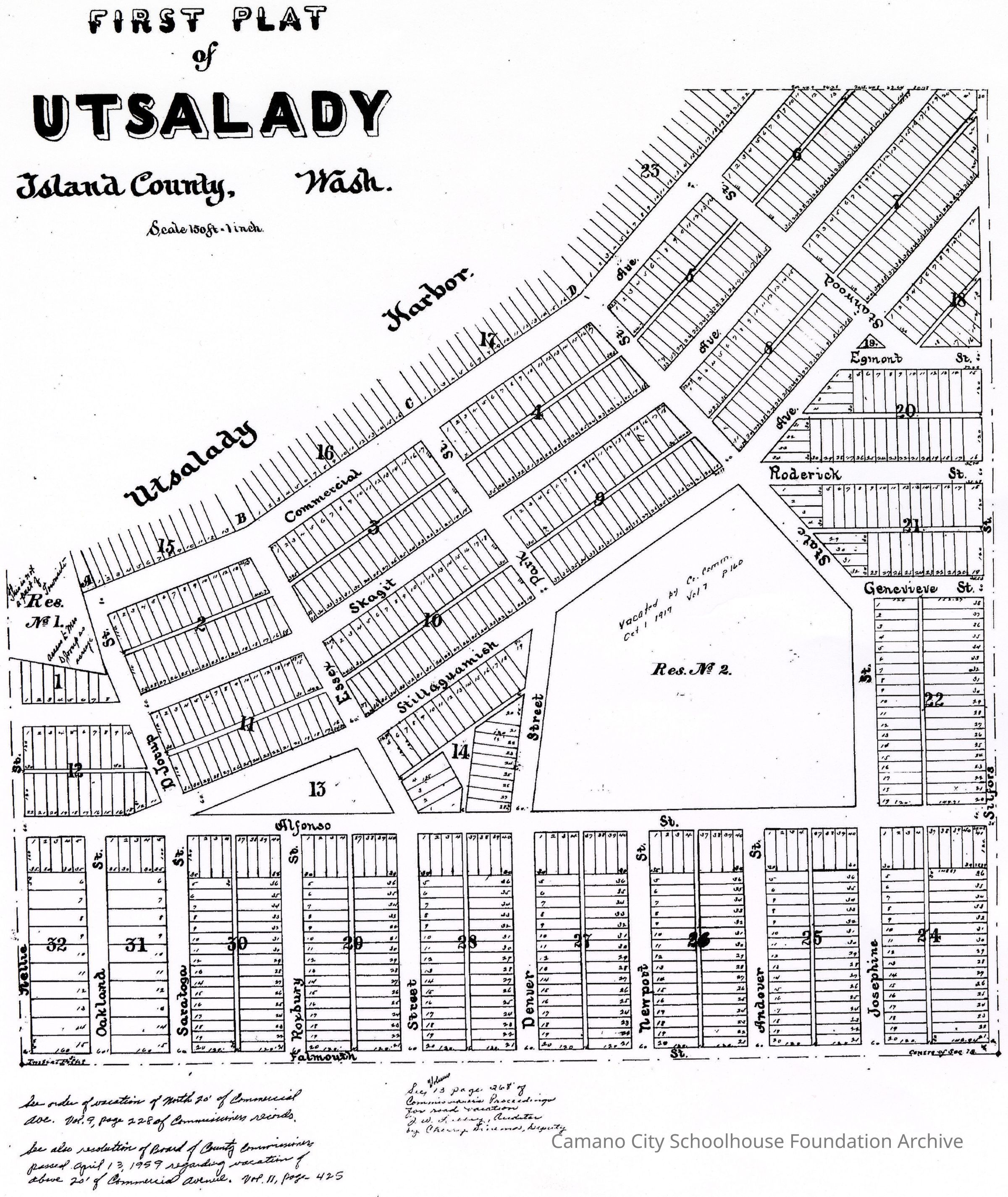
A black and white facsimile of the "First Plat of Utsalady" showing housing plots, street names, etc.
A black and white facsimile of a map of Utsalady (on the north edge of Camano Island) divided into small plots in 32 sections. Area depicted reaches from Nellie St on the West edge and goes to Silford St on the East edge, North edge is Utsalady Bay and south edge is Falmouth St.
Name/Title
Utsalady First Plat MapEntry/Object ID
2024.004.I.005Description
First known plat map (map of individual housing plots) of Utsalady neighborhoodCollection
Hanks CollectionCategory
Map