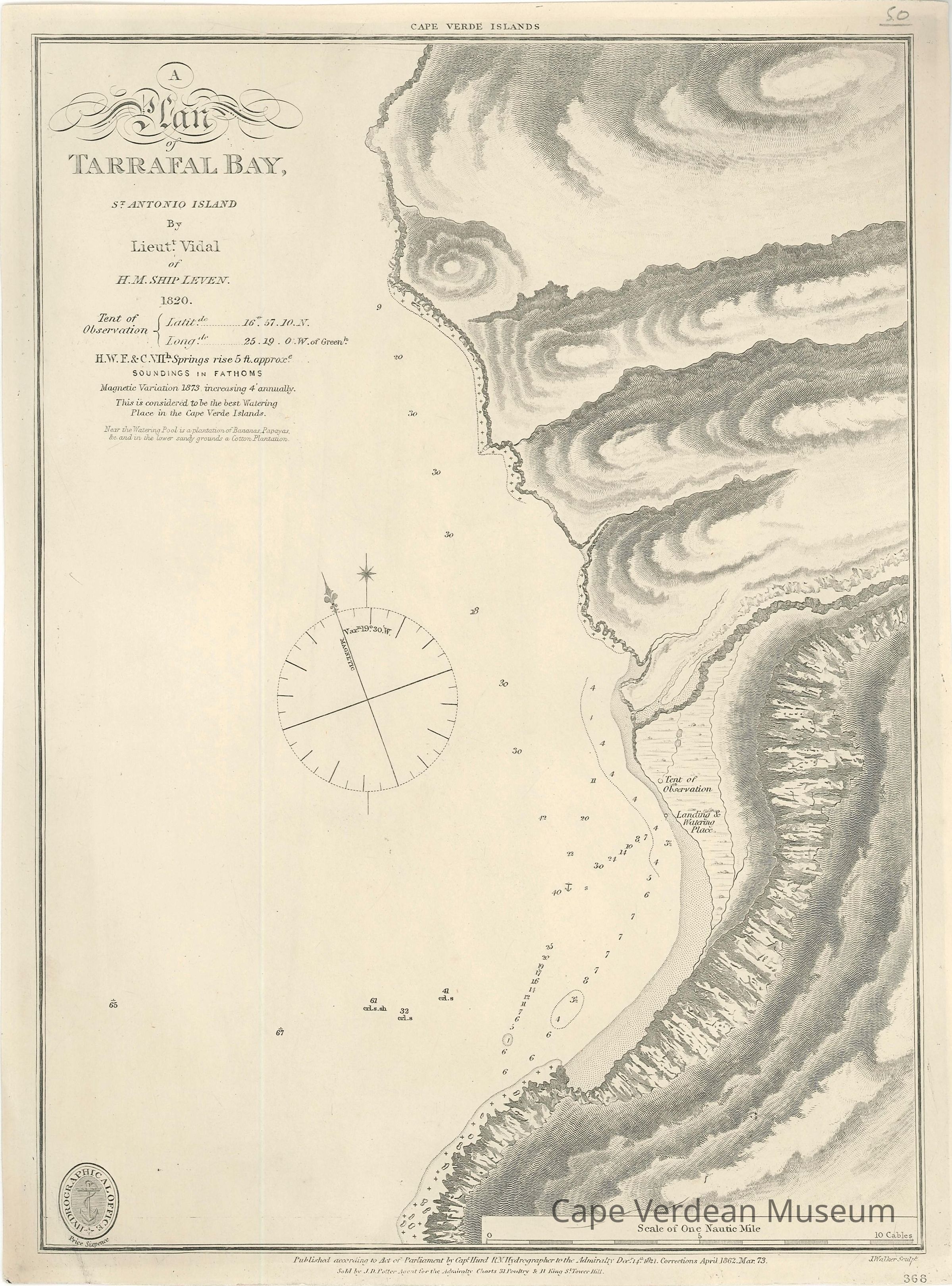
By Lieut. Vidal of H. M. Ship Leven, 1820. Chart #368.
Description
Surveyed in 1820 and first published in 1821, this is a later printing of a map of Tarrafal Bay on the island of Santo Antão (the location is today known as Tarrafal de Monte Trigo). It is not to be confused with the more famous location of Tarrafal Bay on the island of Santiago, Cape Verde.
This chart of the island is just one of many made during HMS Leven's 1820-1826 voyage to Africa and Arabia. These maps were something of a landmark in cartography as they were not only the most accurate to date, forming the basis of subsequent charts for generations. They were in some cases the first proper navigational charts for these areas of the world. In addition to surveying, the Leven also ferried Christian missionaries to new outposts and attempted to discourage slave trading along the way.
Charles Darwin made extensive use of this same series of maps when he visited Cape Verde in the HMS Beagle in 1876. Darwin was so intrigued by the islands that he considered using them as the foundation of his study of evolution before ultimately deciding on the Galapagos Islands.
This chart, engraved by J. Walker, shows both hydrographical and topographical details.
Published in London by the British Admiralty, 1873.