Atlas of Orange County, New York: compiled and drawn from official records, public and private plans and actual surveys.
Atlas of Orange County, New York: compiled and drawn from official records, public and private plans and actual surveys.
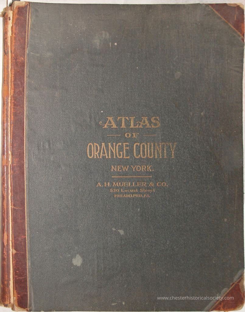
The image shows a vintage atlas titled "Atlas of Orange County, New York" with a worn cover. Published 1903.
Name/Title
Atlas of Orange County, New York: compiled and drawn from official records, public and private plans and actual surveys.Entry/Object ID
chs-013878Description
Atlas of Orange County, New York: compiled and drawn from official records, public and private plans and actual surveys. Published 1903, in Philadelphia by A.H. Mueller. Contents: Town Maps. Plate Blooming Grove 22 Cornwall 9 Chester 19 Deer Park 43 Crawford 26 Goshen 33 Greenville 41 Hamptonburgh 22 Highland 11 Mount Hope 42 Montgomery 23 Minisink 40 Monroe 14 Newburgh 1 New Windsor 7-8 Tuxedo 16 Wallkill 27 Wawayanda 36 Warwick 37 Woodbury 12 City And Village Plans. Plate Amity 39 Arden 16 Balmville 1 Bellvale 37 Bullville 26 Burnside 49 Campbell Hall 19 Central Valley 13 Chester 20 Circleville 32 Cornwall P. O. 9 Cornwall Village 10 Craigville 22 Cuddebackville 43 Denton 36 Durlandville 33 Edenville 39 Firthcliffe 9 Florida 39 Goshen 34-35 Goddefroy 43 Greenwood Lake 39 Greenville 41 Highland Mills 13 Highland Falls 11 Howells Depot 77 Huguenot 44 Johnson 40 Mechanicstown 32 Middletown 28-32 Middle Hope 1 Monroe 15 Montgomery 25 Mountainville 10 Mount Hope 42 Newburgh 2-6 New Hampton 1 New Milford 38 New Milford Station 37 New Windsor 8 Orr's Mills 9 Otisville 42 Oxford Depot 19 Phillipsburg 32 Pilgrim's Corner 27 Pine Bush 26 Pine Island 38 Port Jervis 44-46 Randellville 33 Ridgebury 36 Salisbury Mills 19 Scotchtown 27 Searsville 26 Slate Hill 36 Smith's Corner 44 Sparrowbush 46 Sugarloaf 19 Turner 14 Tuxedo Park 16-18 Unionville 40 Vail's Gate 8 Walden 23-24 Warwick 38 Washingtonville 21 West Newburgh 7 West Point 15 West Town 40Collection
W. S. DurlandCategory
Orange County
Other Locales