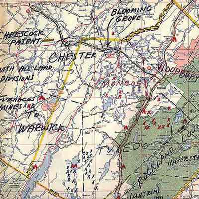
Local Iron Furnaces and Mines Map

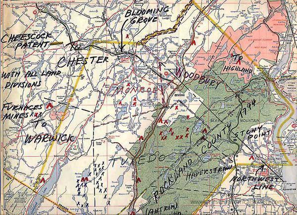
Local Iron Furnaces and Mines Map: The image depicts a section of a 1972 Rand McNally Road Map map with handwritten annotations showing locations of local iron furnaces, mines, towns, roads, and land divisions.
Local Iron Furnaces and Mines Map

The image depicts a section of a 1972 Rand McNally Road Map map with handwritten annotations showing locations of local iron furnaces, mines, towns, roads, and land divisions.

Name/Title

Local Iron Furnaces and Mines Map

Entry/Object ID

chs-000171

Description

12 by 11 inch section of a 1972 Rand McNally Road Map with local Iron Furnances and Mines Plotted

Collection

Johnson Family Collection

Category

Industry: Iron Mining & Related
Acquisition

Notes

8/21/2000 Gift from Ben Johnson

Map Details

Maker or Creator

?

Publisher

?

Date Published

1972

Create Date

October 22, 2024

Update Date

November 23, 2024