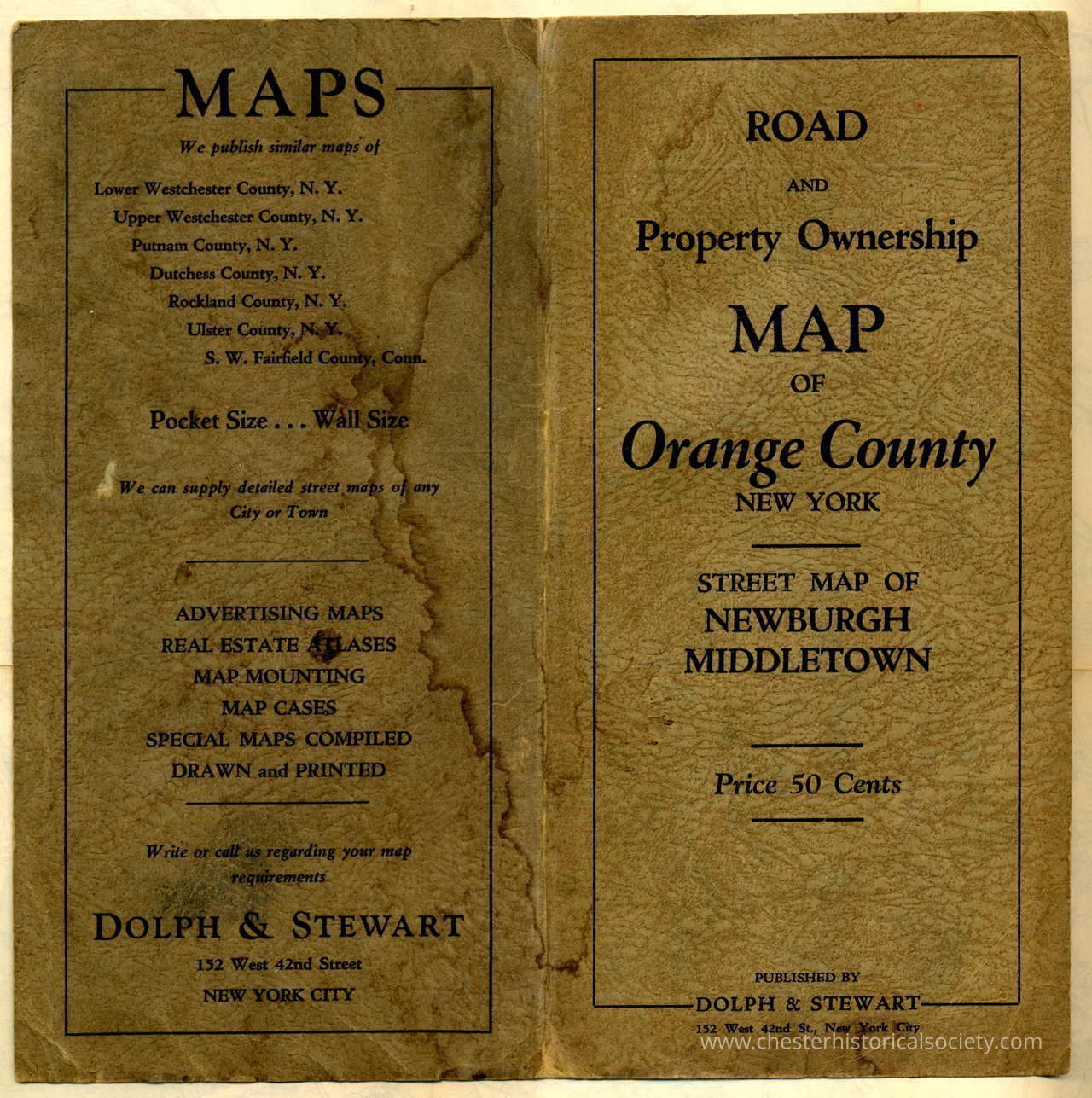
Road & Property Ownership Map of Orange County New York
Road & Property Ownership Map of Orange County New York
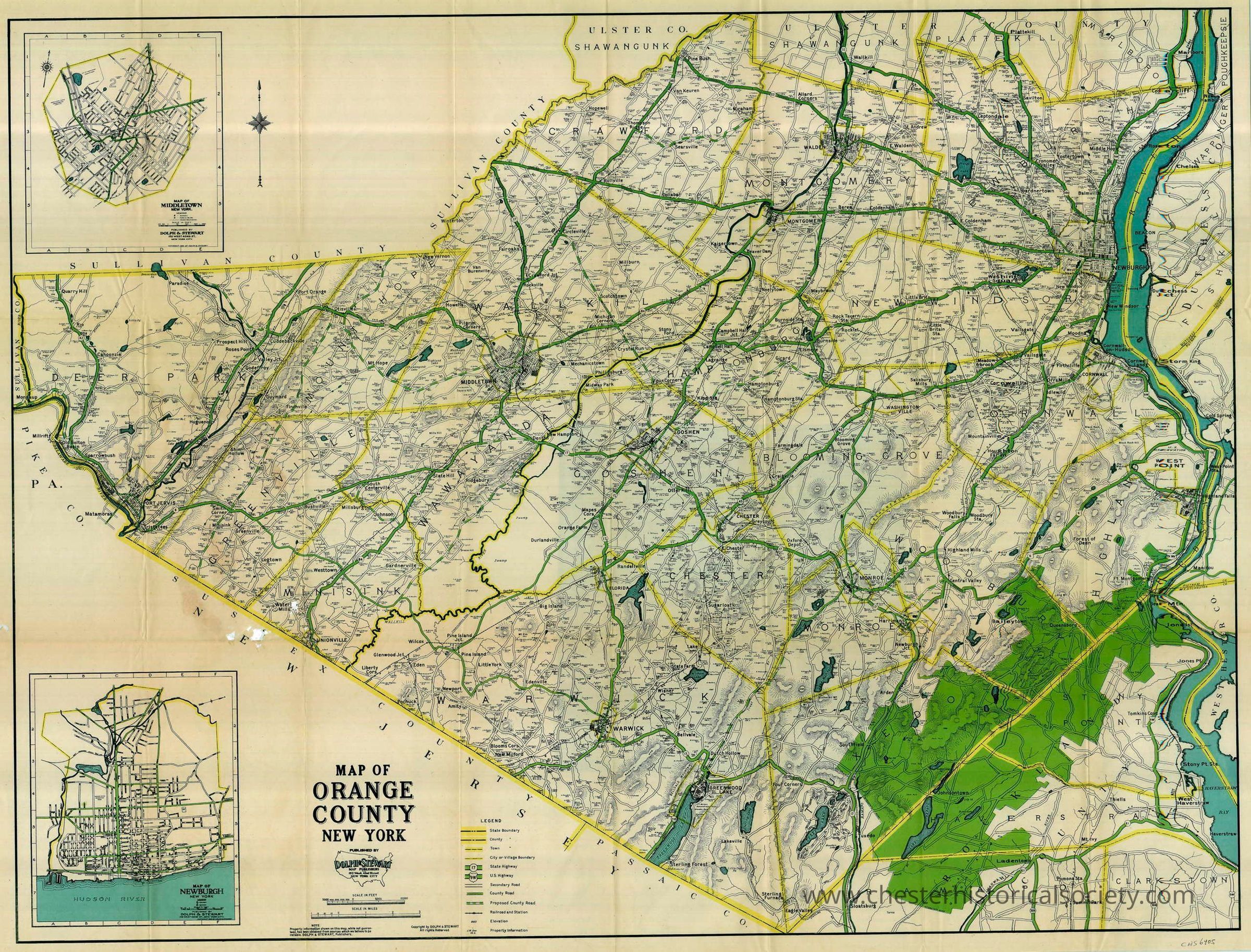
The image shows a detailed circa 1930 map of Orange County, New York, with roads, towns, and property owners.
Name/Title
Road & Property Ownership Map of Orange County New YorkEntry/Object ID
chs-006405Secondary Title
Circa 1930 Road & Property Ownership Map of Orange County New York.Description
33 by 26 inchesCollection
William E. Duggan, Jr. CollectionCategory
Orange County
Other Locales