Town of Chester Election District Map
Town of ChesterElection District Map
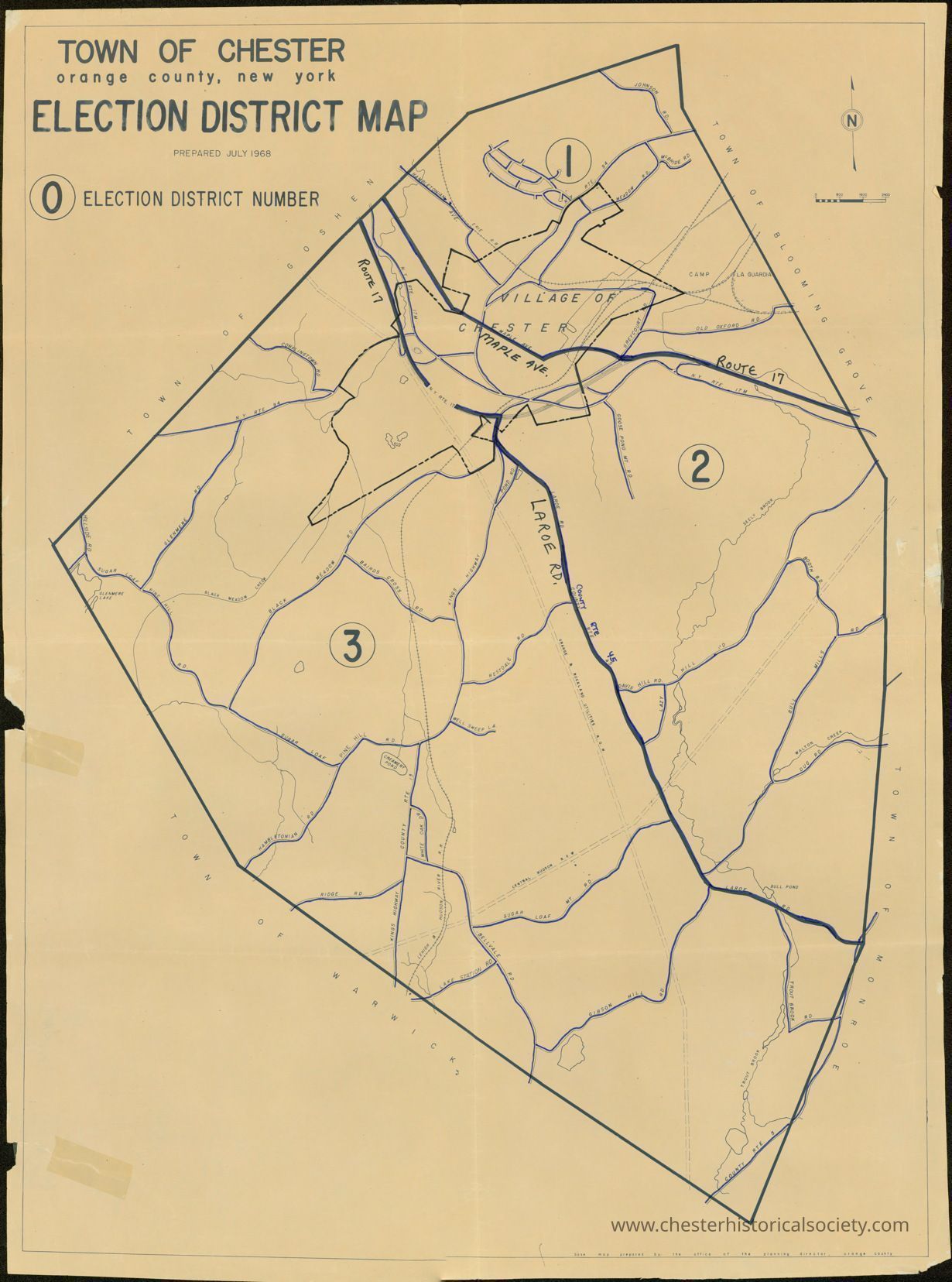
The image shows a detailed election district map of Chester, New York, with numbered sections marked.
Name/Title
Town of Chester Election District MapEntry/Object ID
chs-007538Description
The July 1968 election district map of Chester, New York, with numbered sections marked.Collection
Bahren Family CollectionCategory
Chester, Town of