Map of Sterling Property
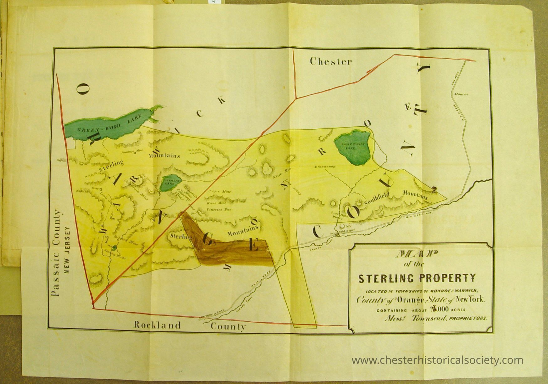
1856 Map of Sterling Property
The map shows the Sterling Property in New York, spanning multiple townships and covering 93,000 acres.
Name/Title
Map of Sterling PropertyEntry/Object ID
chs-011112Description
This 1856 map shows the Sterling Property in New York, spanning multiple townships and covering 23,000 acres. The orginal is held by the New York State Library, Manuscripts and Special Collections: Sterling Iron And Railway Company Records, 1740-1918, SC14069, Box 2, Folder 3, Item 219. Pamphlet. A Map: showing the location of the Sterling Iron Estate, Orange County, N.Y. 9 pp. With a colored map of the Sterling property. There is also an ink drawn map of the tract that may or may not belong with the pamphlet. This pamphlet was published in 1856 when the Townsends sought to sell the Sterling Iron Estate and was submitted to prominent men in the iron industry in the hopes of finding a buyer.Collection
New York State Library, Manuscripts and Special Collections.Category
Industry: Iron Mining & Related