Soils Map Town of Chester
1972 Soils Map Town of Chester
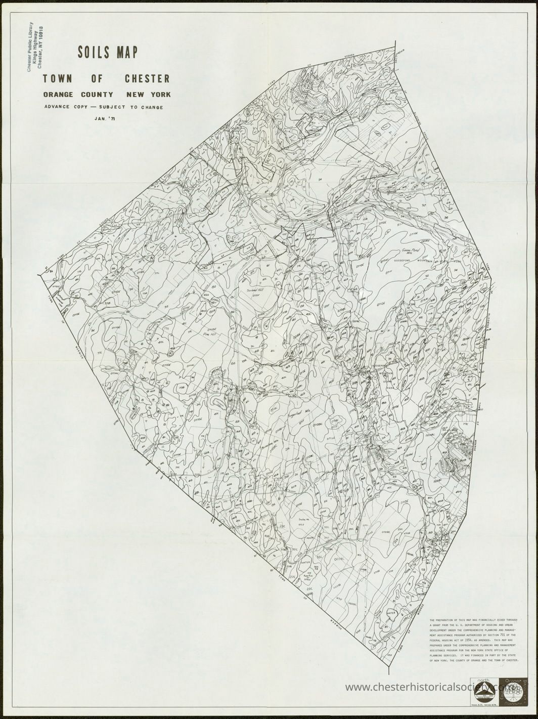
The image is a detailed soil map of the Town of Chester in Orange County, New York, dated January 1972, showing topographical contours, boundaries, and various soil classifications indicated by unique symbols and codes, providing comprehensive geographical information for agricultural, developmental, or environmental planning purposes, with a legend and notation in the upper and lower sections, emphasizing it as an advance copy subject to change, and including coordinates and surveyor details.
Name/Title
Soils Map Town of ChesterEntry/Object ID
chs-011338Description
The image is a detailed soil map of the Town of Chester in Orange County, New York, dated January 1972, showing topographical contours, boundaries, and various soil classifications indicated by unique symbols and codes, providing comprehensive geographical information for agricultural, developmental, or environmental planning purposes, with a legend and notation in the upper and lower sections, emphasizing it as an advance copy subject to change, and including coordinates and surveyor details.Category
Chester, Town of