Provinces of New York and New Jersey
1781 Provinces of New York and New Jersey
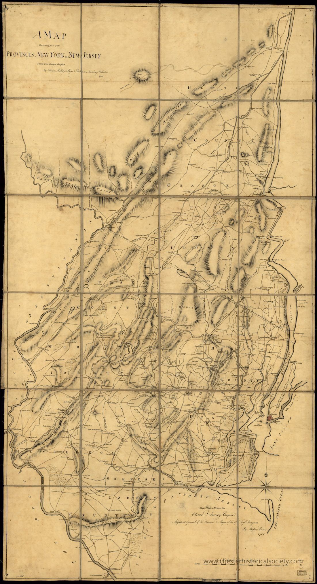
A map containing part of the Provinces of New York and New Jersey, drawn from surveys compiled by Thomas Millidge, major 1st Battalion, New Jersey Volunteers, 1780. Shows the area between the Hudson and Delaware Rivers, from Kingston, N.Y. to Trenton, including names of some property owners. Drawn in 1781 by Andrew Skinner.
Name/Title
Provinces of New York and New JerseyEntry/Object ID
chs-012038Description
A map containing part of the Provinces of New York and New Jersey, drawn from surveys compiled by Thomas Millidge, major 1st Battalion, New Jersey Volunteers, 1780. Shows the area between the Hudson and Delaware Rivers, from Kingston, N.Y. to Trenton, including names of some property owners. Drawn in 1781 by Andrew Skinner. The original is held by the Library of Congress Geography and Map Division Washington, D.C.Category
Maps