Orange County before 1810
Orange County before 1810
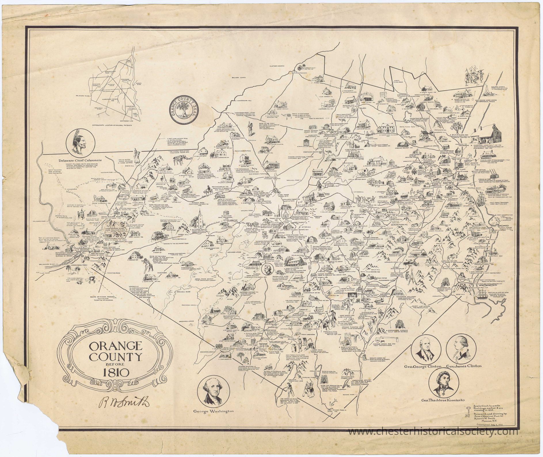
The map depicting Orange County before 1810 is intricately illustrated, depicting various historical sites, landmarks, and notable figures such as George Washington and Delaware Chief Cahoonzie, with detailed drawings of buildings, natural features, and roads, accompanied by explanations and captions. It includes a small inset map of transportation routes, and features a decorative border. The historical and geographical details offer a glimpse into the county’s past, highlighting significant locations and events of that era.
Name/Title
Orange County before 1810Entry/Object ID
chs-013869Description
The map depicting Orange County before 1810 is intricately illustrated, depicting various historical sites, landmarks, and notable figures such as George Washington and Delaware Chief Cahoonzie, with detailed drawings of buildings, natural features, and roads, accompanied by explanations and captions. It includes a small inset map of transportation routes, and features a decorative border. The historical and geographical details offer a glimpse into the county’s past, highlighting significant locations and events of that era. Signed by Roscoe Smith who commissioned Anne Olmstead Peet to create this map dated January 1, 1936.Collection
W. S. DurlandCategory
Orange County
Other Locales