Hagstrom's Map of Orange County, New York
Hagstrom's Map of Orange County, New York
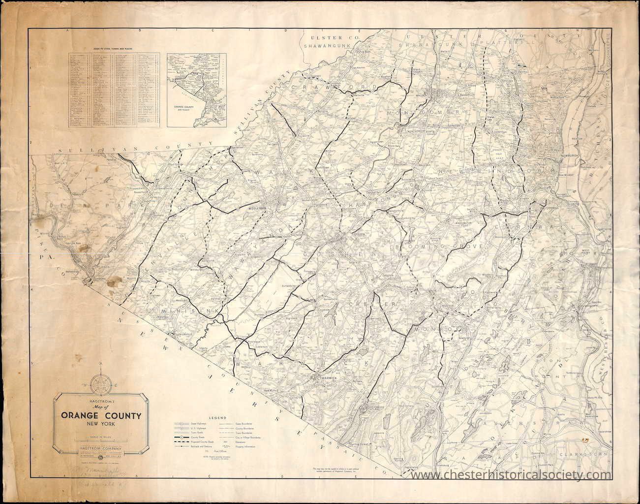
This 1950s vintage map depicts Orange County, New York, with detailed roads, towns, and geographical features visible.
Name/Title
Hagstrom's Map of Orange County, New YorkEntry/Object ID
chs-017155Description
Hagstrom's Map of Orange County, New York Village bypass from East Chester to West Chester shown in place as US 6, but Main Street still crossing the RR tracks at East Chester. Lazy Hill and Valley Roads still open before Goosepond Park formed. Shows: Thruway, PIP, and Quickway as proposed.Collection
Leatham FamilyCategory
Orange County
Other Locales