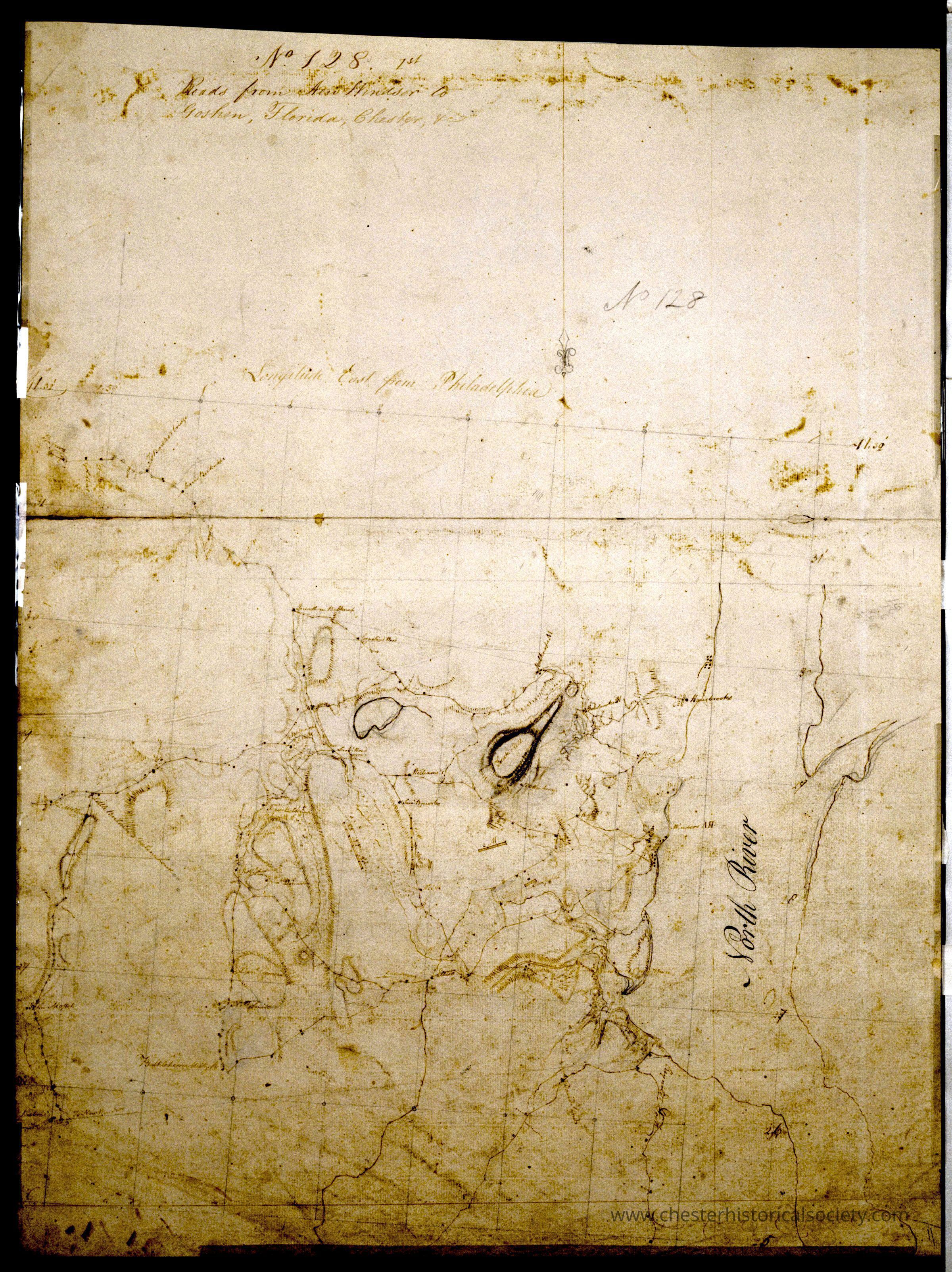
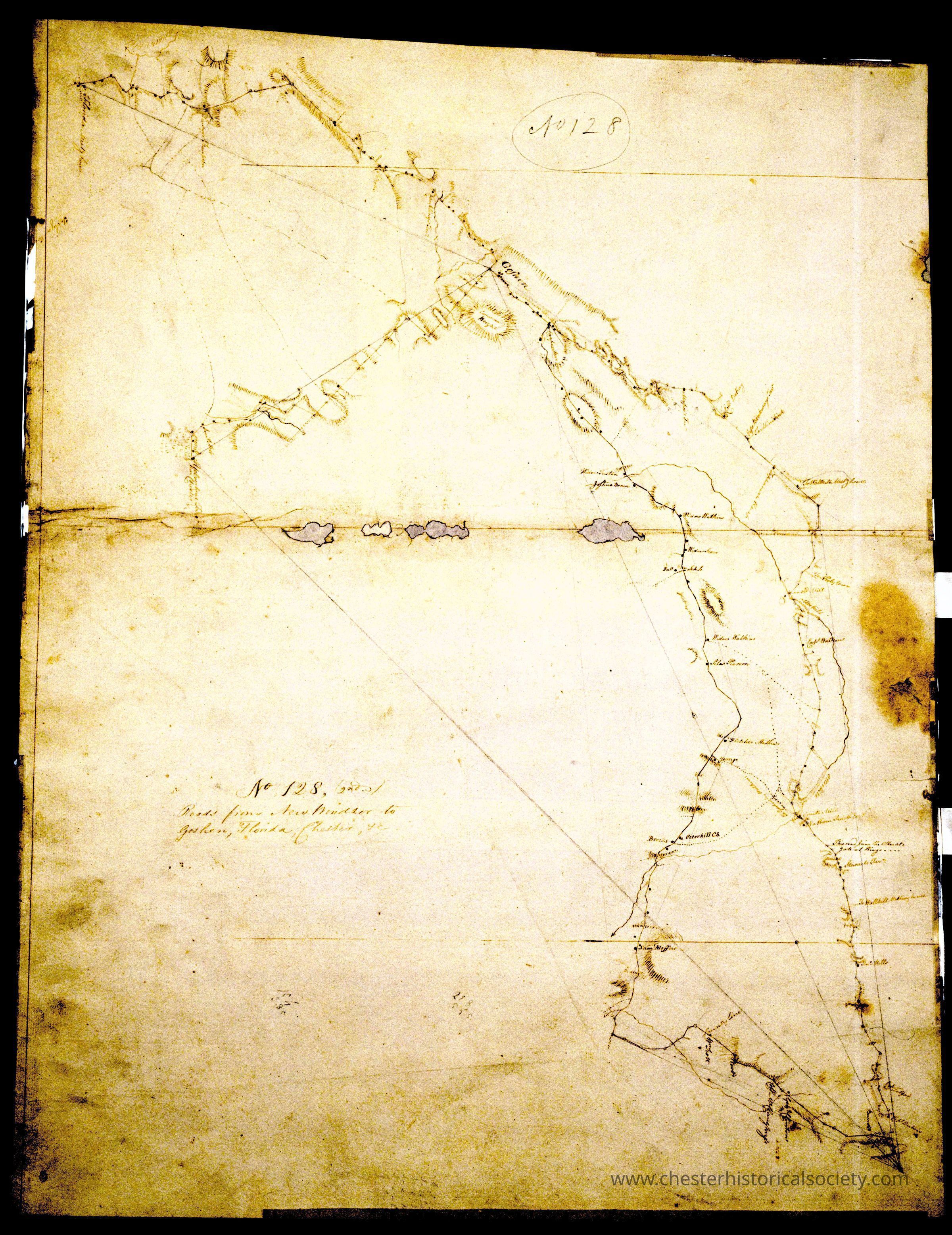
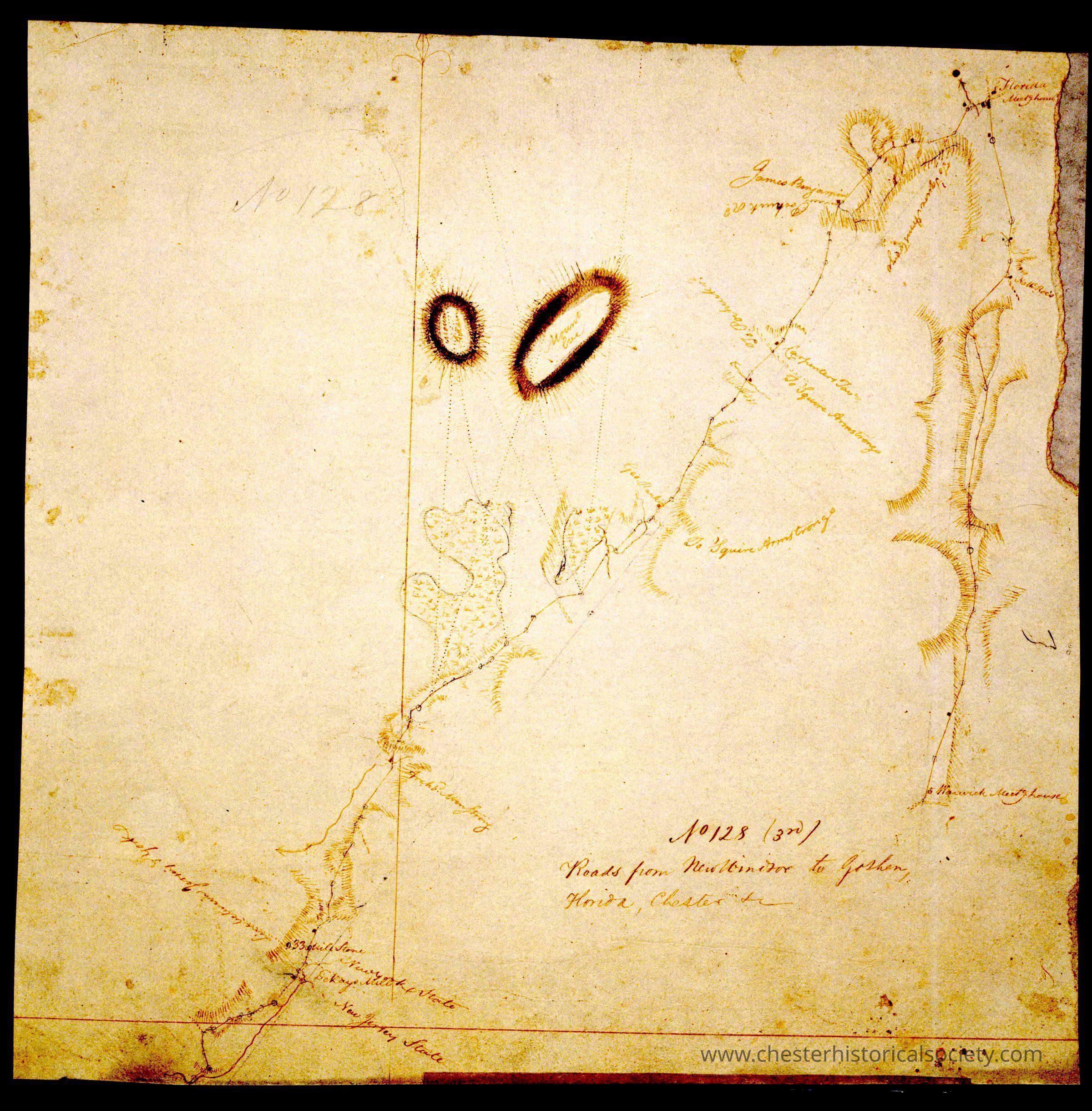
Roads from New Windsor to Goshen, Florida, Chester, +c. No 128, 1st, 2nd, & 3rd_ by Robert Erskine F.R.S. Geogr. A. U.S. and Assistants.
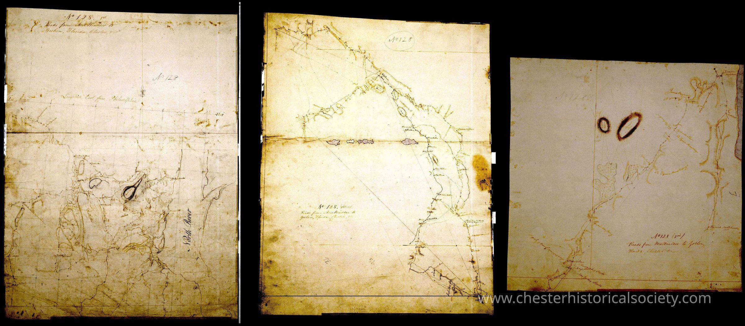
The set of three maps: Roads from New Windsor to Goshen, Florida, Chester, +c. No 128, 1st, 2nd, & 3rd_ by Robert Erskine F.R.S. Geogr. A. U.S. and Assistants.
The image shows the Erskine map set: Roads from New Windsor to Goshen, Florida, Chester, +c. No 128, 1st, 2nd, & 3rd_ by Robert Erskine F.R.S. Geogr. A. U.S. and Assistants, with intricate hand-drawn details and faded annotations, depicting routes and natural features.
Name/Title
Roads from New Windsor to Goshen, Florida, Chester, +c. No 128, 1st, 2nd, & 3rd_ by Robert Erskine F.R.S. Geogr. A. U.S. and Assistants.Entry/Object ID
chs-019509Secondary Title
A set of three maps: Roads from New Windsor to Goshen, Florida, Chester, +c. No 128, 1st, 2nd, & 3rd_ by Robert Erskine F.R.S. Geogr. A. U.S. and Assistants.Description
Title Roads from New Windsor to Goshen, Florida, Chester, +c. No 128, 1st Creator Erskine, Robert, 1735-1780. De Witt, Richard Varrick donor. De Witt, Simeon, 1756-1834. United States. Continental Army. Surveying Dept. Creation Date 1782? Subject Buildings -- New York (State) -- Maps Landforms -- New York (State) -- Maps Landowners -- New York (State) -- Maps Military camps -- New York (State) -- Maps Rivers -- New York (State) -- Maps Roads -- New York (State) -- Maps Hudson River Valley (N.Y. and N.J.) -- History -- 18th century -- Campaigns -- Maps, Manuscript Orange County (N.Y.) -- History -- 18th century -- Campaigns -- Maps, Manuscript Genre Maps Maps, Manuscript Early works to 1800 Other title Index title: Roads from New Windsor to Goshen, Florada, Chester, &c. 128 Roads from New Windsor to Goshen, Florida, Chester, etc. No 128, 1st Series Rough draughts of surveys, begun A.D. 1778 ; 128, 1st. Format Scale [ca. 1:32,000] (W 74⁰09ʹ--W 73⁰58ʹ/N 41⁰32ʹ--N 41⁰25ʹ). 1 map : ms. ; 64 x 48 cm. General Notes Date probably 1782, based on presence of a label for the Hasbrouck house at Newburgh, which was Washington's HQ from April of that year. In pencil on recto: "No 128" M004395 Military topographic map. Covers the townships of New Windsor, Cornwall and Montgomery in Orange County, New York. Also shows position of troops; also buildings and owners' names, landforms and streams. Pen-and-ink, pencil on laid paper. Shows relief by hachures. Stained, soiled, foxed, creased and abraded. Mounted on cloth, bound and cropped, disbound and silked by subsequent owners. Cleaned after removal of backings 1999; some fill remains. Sheathed in mylar. Title proper from recto is the work of a later editor--Simeon DeWitt or his assign--subsequent to 1820. No title on verso. Title from separate index sheet filed at head of series is contemporaneous with map and may be cited as such. The entry was transcribed by Heusser and is still legible under longwave ultraviolet light. Statement of responsibility, series title and series numbering from same index. Watermark: "J WHATMAN" accompanied by crest having pendent initials "G R" References: Heusser, Albert H. George Washington's map maker, p. 249-256. Local Notes M004395 Language EnglishCollection
New-York Historical SocietyCategory
War, Revolutionary 1775-1783